Area Overview for CV6 5JT
Photos of CV6 5JT
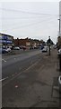
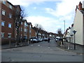
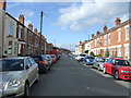
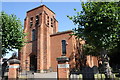

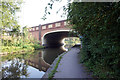
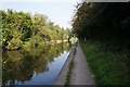
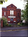
92 photos from this area
Area Information
Key information about the CV6 5JT including its size, population, and administrative classification.
- Area Type
- Postcode
- Area Size
- 6043 m²
- Population
- 1862
- Population Density
- 9769 people/km²
House Prices in CV6 5JT
22
Properties
£82,801
Average Sold Price
£26,500
Lowest Price
£160,000
Highest Price
Showing 22 properties
| Address | Type | Beds | Baths | Last Sale Price | Last Sale Date | |
|---|---|---|---|---|---|---|
| 14 Blackwell Road, Coventry, CV6 5JT | Semi-detached | 3 | 2 | £160,000 | May 2019 | |
| 44 Blackwell Road, Coventry, CV6 5JT | house | - | - | £77,664 | Sep 2014 | |
| 4 Blackwell Road, Coventry, CV6 5JT | house | - | - | £125,000 | Aug 2011 | |
| 16 Blackwell Road, Coventry, CV6 5JT | house | - | - | £99,950 | Jan 2009 | |
| 10 Blackwell Road, Coventry, CV6 5JT | house | - | - | £125,000 | Aug 2004 | |
| 34 Blackwell Road, Coventry, CV6 5JT | house | - | - | £100,000 | Apr 2004 | |
| 40 Blackwell Road, Coventry, CV6 5JT | house | - | - | £85,000 | Jun 2003 | |
| 36 Blackwell Road, Coventry, CV6 5JT | Semi-detached | 3 | 1 | £67,000 | Mar 2003 | |
| 22 Blackwell Road, Coventry, CV6 5JT | house | - | - | £58,000 | Jul 2002 | |
| 8 Blackwell Road, Coventry, CV6 5JT | house | - | - | £35,500 | Mar 1997 |
Page 1 of 3
Energy Efficiency in CV6 5JT
Amenities
Schools
| Rank | School | Type | Entry gender | Ages |
|---|
Explore more schools in this area
Go to Schools tabDemographics
Household Size
Family (3-5 people)
most common
Accommodation Type
Houses
most common
Tenure
52
majority
Ethnic Group
asian_total
most common
Religion
N/A
most common
Household Composition
N/A
most common
Age
47
median
Adults (30-64 years)
most common
Household Deprivation
N/A
with no deprivation
NS-SEC
13
in Lower managerial occupations
Explore more demographic insights in this area
Go to Demographics tabPlanning
Planning Constraints
- Flood RiskPremium
- Ramsar Wetland SitesPremium
- Area of Outstanding Natural BeautyPremium
- Protected Nature ReservePremium
- Protected WoodlandPremium