Area Overview for CV6 2DJ
Photos of CV6 2DJ
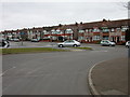
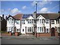
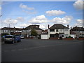
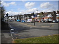
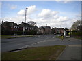
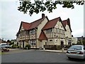
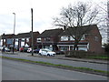
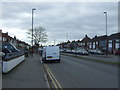
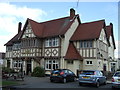
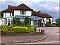
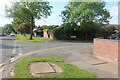
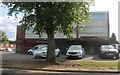
18 photos from this area
Area Information
Key information about the CV6 2DJ including its size, population, and administrative classification.
- Area Type
- Postcode
- Area Size
- 3.2 hectares
- Population
- 1910
- Population Density
- 3889 people/km²
House Prices in CV6 2DJ
17
Properties
£135,650
Average Sold Price
£38,000
Lowest Price
£280,000
Highest Price
Showing 17 properties
| Address | Type | Beds | Baths | Last Sale Price | Last Sale Date | |
|---|---|---|---|---|---|---|
| 203 Scots Lane, Coventry, CV6 2DJ | Terraced | 3 | 1 | £250,000 | Apr 2025 | |
| 223 Scots Lane, Coventry, CV6 2DJ | Retail | 4 | 1 | £280,000 | Sep 2022 | |
| 199 Scots Lane, Coventry, CV6 2DJ | Terraced | 3 | 1 | £235,000 | Nov 2018 | |
| 217 Scots Lane, Coventry, CV6 2DJ | Terraced | 3 | 1 | £160,000 | Aug 2018 | |
| 205 Scots Lane, Coventry, CV6 2DJ | Terraced | 4 | 2 | £233,000 | Sep 2017 | |
| 201 Scots Lane, Coventry, CV6 2DJ | Terraced | 3 | - | £150,000 | Oct 2016 | |
| 219 Scots Lane, Coventry, CV6 2DJ | house | - | - | £112,450 | Dec 2012 | |
| 197 Scots Lane, Coventry, CV6 2DJ | Bungalow | - | - | £87,000 | Jun 2000 | |
| 209 Scots Lane, Coventry, CV6 2DJ | Terraced | - | - | £50,000 | Sep 1999 | |
| 195 Scots Lane, Coventry, CV6 2DJ | Terraced | 6 | 2 | £52,000 | May 1999 |
Page 1 of 2
Energy Efficiency in CV6 2DJ
Amenities
Schools
| Rank | School | Type | Entry gender | Ages |
|---|
Explore more schools in this area
Go to Schools tabDemographics
Household Size
Two person
most common
Accommodation Type
Houses
most common
Tenure
61
majority
Ethnic Group
White
most common
Religion
N/A
most common
Household Composition
N/A
most common
Age
47
median
Adults (30-64 years)
most common
Household Deprivation
N/A
with no deprivation
NS-SEC
30
in Lower managerial occupations
Explore more demographic insights in this area
Go to Demographics tabPlanning
Planning Constraints
- Flood RiskPremium
- Ramsar Wetland SitesPremium
- Area of Outstanding Natural BeautyPremium
- Protected Nature ReservePremium
- Protected WoodlandPremium