Area Overview for CV6 1FL
Photos of CV6 1FL
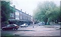
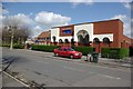
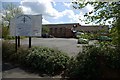
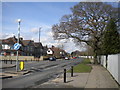
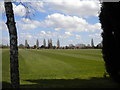
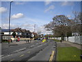
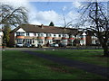
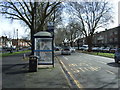
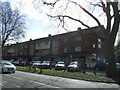
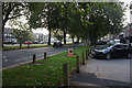
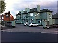
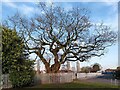
29 photos from this area
Area Information
Key information about the CV6 1FL including its size, population, and administrative classification.
- Area Type
- Postcode
- Area Size
- 5380 m²
- Population
- 1606
- Population Density
- 7367 people/km²
House Prices in CV6 1FL
18
Properties
£185,036
Average Sold Price
£74,000
Lowest Price
£322,000
Highest Price
Showing 18 properties
| Address | Type | Beds | Baths | Last Sale Price | Last Sale Date | |
|---|---|---|---|---|---|---|
| 61 Donnington Avenue, Coventry, CV6 1FL | house | 3 | 1 | £241,000 | Dec 2022 | |
| 83 Donnington Avenue, Coventry, CV6 1FL | Terraced | 3 | 1 | £174,000 | May 2021 | |
| 51 Donnington Avenue, Coventry, CV6 1FL | house | - | - | £322,000 | Feb 2021 | |
| 85 Donnington Avenue, Coventry, CV6 1FL | house | - | - | £192,000 | Mar 2020 | |
| 55 Donnington Avenue, Coventry, CV6 1FL | house | - | - | £177,000 | Jan 2018 | |
| 75 Donnington Avenue, Coventry, CV6 1FL | house | - | - | £295,000 | Jun 2016 | |
| 73 Donnington Avenue, Coventry, CV6 1FL | Terraced | - | - | £198,000 | Jul 2008 | |
| 63 Donnington Avenue, Coventry, CV6 1FL | Terraced | - | - | £154,950 | Aug 2007 | |
| 53 Donnington Avenue, Coventry, CV6 1FL | Terraced | - | - | £129,950 | Sep 2004 | |
| 81 Donnington Avenue, Coventry, CV6 1FL | Terraced | - | - | £74,000 | Aug 2001 |
Page 1 of 2
Energy Efficiency in CV6 1FL
Amenities
Schools
| Rank | School | Type | Entry gender | Ages |
|---|
Explore more schools in this area
Go to Schools tabDemographics
Household Size
Family (3-5 people)
most common
Accommodation Type
Houses
most common
Tenure
79
majority
Ethnic Group
White
most common
Religion
N/A
most common
Household Composition
N/A
most common
Age
47
median
Adults (30-64 years)
most common
Household Deprivation
N/A
with no deprivation
NS-SEC
37
in Lower managerial occupations
Explore more demographic insights in this area
Go to Demographics tabPlanning
Planning Constraints
- Flood RiskPremium
- Ramsar Wetland SitesPremium
- Area of Outstanding Natural BeautyPremium
- Protected Nature ReservePremium
- Protected WoodlandPremium