Area Overview for CV5 9HP
Photos of CV5 9HP
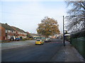

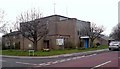
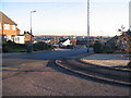
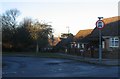

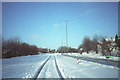
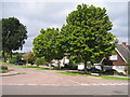
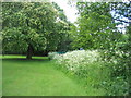
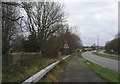
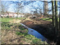
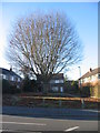
73 photos from this area
Area Information
Key information about the CV5 9HP including its size, population, and administrative classification.
- Area Type
- Postcode
- Area Size
- 3279 m²
- Population
- 1484
- Population Density
- 5943 people/km²
House Prices in CV5 9HP
11
Properties
£125,039
Average Sold Price
£60,000
Lowest Price
£200,000
Highest Price
Showing 11 properties
| Address | Type | Beds | Baths | Last Sale Price | Last Sale Date | |
|---|---|---|---|---|---|---|
| 14 Buckingham Rise, Coventry, CV5 9HP | Semi-detached | 2 | 1 | £187,500 | Jul 2023 | |
| 16 Buckingham Rise, Coventry, CV5 9HP | Semi-detached | 2 | 1 | £180,000 | May 2022 | |
| 2 Buckingham Rise, Coventry, CV5 9HP | Bungalow | 3 | - | £92,000 | Nov 2013 | |
| 10 Buckingham Rise, Coventry, CV5 9HP | Semi-detached | - | - | £200,000 | Sep 2007 | |
| 18 Buckingham Rise, Coventry, CV5 9HP | house | - | - | £129,950 | Aug 2007 | |
| 4 Buckingham Rise, Coventry, CV5 9HP | Flat | - | - | £104,950 | Sep 2004 | |
| 12 Buckingham Rise, Coventry, CV5 9HP | Semi-detached | - | - | £94,950 | Sep 2003 | |
| 6 Buckingham Rise, Coventry, CV5 9HP | Flat | - | - | £60,000 | May 2003 | |
| 8 Buckingham Rise, Coventry, CV5 9HP | house | 3 | 1 | £76,000 | Dec 2002 | |
| 22 Buckingham Rise, Coventry, CV5 9HP | Semi-detached | - | - | - | - |
Page 1 of 2
Energy Efficiency in CV5 9HP
Amenities
Schools
| Rank | School | Type | Entry gender | Ages |
|---|
Explore more schools in this area
Go to Schools tabDemographics
Household Size
Two person
most common
Accommodation Type
Houses
most common
Tenure
82
majority
Ethnic Group
White
most common
Religion
N/A
most common
Household Composition
N/A
most common
Age
47
median
Adults (30-64 years)
most common
Household Deprivation
N/A
with no deprivation
NS-SEC
33
in Lower managerial occupations
Explore more demographic insights in this area
Go to Demographics tabPlanning
Planning Constraints
- Flood RiskPremium
- Ramsar Wetland SitesPremium
- Area of Outstanding Natural BeautyPremium
- Protected Nature ReservePremium
- Protected WoodlandPremium