Area Overview for CV5 9BY
Photos of CV5 9BY
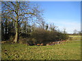
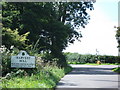
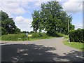
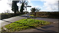
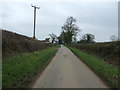
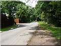
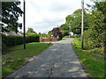
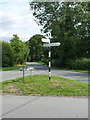
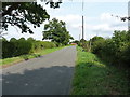
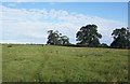

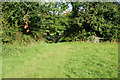
21 photos from this area
Area Information
Key information about the CV5 9BY including its size, population, and administrative classification.
- Area Type
- Postcode
- Area Size
- 33.4 hectares
- Population
- 1641
- Population Density
- 131 people/km²
House Prices in CV5 9BY
52
Properties
£458,786
Average Sold Price
£320,000
Lowest Price
£679,000
Highest Price
Showing 52 properties
| Address | Type | Beds | Baths | Last Sale Price | Last Sale Date | |
|---|---|---|---|---|---|---|
| Saxondale, Oak Lane, Coventry, CV5 9BY | Bungalow | 3 | 2 | £450,000 | Oct 2025 | |
| Harvest Hill Farmhouse, Oak Lane, Coventry, CV5 9BY | Detached | - | - | £320,000 | Apr 2025 | |
| Summerfields, Oak Lane, Coventry, CV5 9BY | Bungalow | 4 | 2 | £567,500 | Mar 2025 | |
| The Glass Barn, Oak Lane, Coventry, CV5 9BY | house | - | - | £400,000 | Mar 2022 | |
| The Barn House, Oak Lane, Coventry, CV5 9BY | Semi-detached | 3 | 2 | £440,000 | Aug 2019 | |
| Harvest Hill Farm, Oak Lane, Coventry, CV5 9BY | Semi-detached | 2 | 1 | £679,000 | Apr 2018 | |
| Lilac Cottage, Oak Lane, Coventry, CV5 9BY | Detached | - | - | £355,000 | Jun 2006 | |
| 14, Harvest Hill Park, Oak Lane, Coventry, CV5 9BY | Mobile Home | 2 | 2 | - | - | |
| 3, Harvest Hill Park, Oak Lane, Coventry, CV5 9BY | Mobile Home | 2 | 1 | - | - | |
| 24, Harvest Hill Park, Oak Lane, Coventry, CV5 9BY | Mobile Home | 2 | 1 | - | - |
Page 1 of 6
Energy Efficiency in CV5 9BY
Amenities
Schools
| Rank | School | Type | Entry gender | Ages |
|---|
Explore more schools in this area
Go to Schools tabDemographics
Household Size
Two person
most common
Accommodation Type
Houses
most common
Tenure
91
majority
Ethnic Group
White
most common
Religion
N/A
most common
Household Composition
N/A
most common
Age
47
median
Adults (30-64 years)
most common
Household Deprivation
N/A
with no deprivation
NS-SEC
39
in Lower managerial occupations
Explore more demographic insights in this area
Go to Demographics tabPlanning
Planning Constraints
- Flood RiskPremium
- Ramsar Wetland SitesPremium
- Area of Outstanding Natural BeautyPremium
- Protected Nature ReservePremium
- Protected WoodlandPremium