Area Overview for CV5 8EF
Photos of CV5 8EF
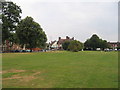
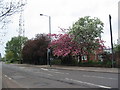
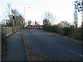
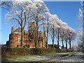
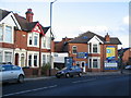
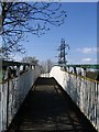
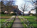
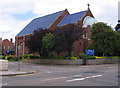
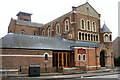
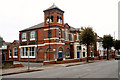
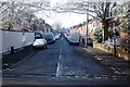
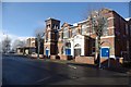
100 photos from this area
Area Information
Key information about the CV5 8EF including its size, population, and administrative classification.
- Area Type
- Postcode
- Area Size
- 8853 m²
- Population
- 1501
- Population Density
- 6968 people/km²
House Prices in CV5 8EF
34
Properties
£160,193
Average Sold Price
£27,500
Lowest Price
£270,000
Highest Price
Showing 34 properties
| Address | Type | Beds | Baths | Last Sale Price | Last Sale Date | |
|---|---|---|---|---|---|---|
| 40 Abercorn Road, Coventry, CV5 8EF | house | - | - | £170,500 | Dec 2025 | |
| 44 Abercorn Road, Coventry, CV5 8EF | house | 3 | 1 | £200,000 | Apr 2025 | |
| 48 Abercorn Road, Coventry, CV5 8EF | Terraced | 4 | 1 | £257,000 | Sep 2023 | |
| 80 Abercorn Road, Coventry, CV5 8EF | house | - | - | £270,000 | Nov 2022 | |
| 68 Abercorn Road, Coventry, CV5 8EF | house | 3 | 1 | £260,000 | Apr 2022 | |
| 52 Abercorn Road, Coventry, CV5 8EF | house | - | - | £242,000 | Feb 2022 | |
| 54 Abercorn Road, Coventry, CV5 8EF | house | - | - | £240,000 | Jan 2022 | |
| 56 Abercorn Road, Coventry, CV5 8EF | Terraced | 3 | 1 | £210,000 | Jan 2020 | |
| 84 Abercorn Road, Coventry, CV5 8EF | Terraced | 4 | - | £247,000 | Oct 2018 | |
| 66 Abercorn Road, Coventry, CV5 8EF | Terraced | 3 | 1 | £209,950 | Feb 2018 |
Page 1 of 4
Energy Efficiency in CV5 8EF
Amenities
Schools
| Rank | School | Type | Entry gender | Ages |
|---|
Explore more schools in this area
Go to Schools tabDemographics
Household Size
One person
most common
Accommodation Type
Houses
most common
Tenure
47
majority
Ethnic Group
White
most common
Religion
N/A
most common
Household Composition
N/A
most common
Age
47
median
Adults (30-64 years)
most common
Household Deprivation
N/A
with no deprivation
NS-SEC
29
in Lower managerial occupations
Explore more demographic insights in this area
Go to Demographics tabPlanning
Planning Constraints
- Flood RiskPremium
- Ramsar Wetland SitesPremium
- Area of Outstanding Natural BeautyPremium
- Protected Nature ReservePremium
- Protected WoodlandPremium