Area Overview for CV5 8AL
Photos of CV5 8AL

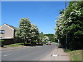
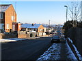

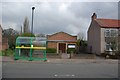
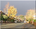
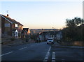
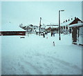

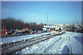
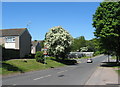
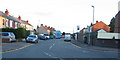
100 photos from this area
Area Information
Key information about the CV5 8AL including its size, population, and administrative classification.
- Area Type
- Postcode
- Area Size
- 7072 m²
- Population
- 1482
- Population Density
- 6413 people/km²
House Prices in CV5 8AL
31
Properties
£112,300
Average Sold Price
£55,000
Lowest Price
£185,000
Highest Price
Showing 31 properties
| Address | Type | Beds | Baths | Last Sale Price | Last Sale Date | |
|---|---|---|---|---|---|---|
| 16 Overdale Road, Coventry, CV5 8AL | Maisonette | 2 | 1 | £136,000 | Mar 2025 | |
| 10 Overdale Road, Coventry, CV5 8AL | Flat | 2 | 1 | £135,000 | May 2022 | |
| 38 Overdale Road, Coventry, CV5 8AL | Flat | - | - | £118,000 | Jan 2022 | |
| 36 Overdale Road, Coventry, CV5 8AL | Flat | 2 | - | £100,000 | Mar 2021 | |
| 48 Overdale Road, Coventry, CV5 8AL | house | - | - | £185,000 | Jun 2020 | |
| 22 Overdale Road, Coventry, CV5 8AL | Flat | - | - | £106,000 | Oct 2019 | |
| 32 Overdale Road, Coventry, CV5 8AL | Flat | - | - | £92,500 | Oct 2019 | |
| 34 Overdale Road, Coventry, CV5 8AL | Flat | 2 | 1 | £103,000 | Sep 2019 | |
| 14 Overdale Road, Coventry, CV5 8AL | Maisonette | 2 | 1 | £130,000 | Jun 2018 | |
| 60 Overdale Road, Coventry, CV5 8AL | Bungalow | 2 | 1 | £135,000 | May 2018 |
Page 1 of 4
Energy Efficiency in CV5 8AL
Amenities
Schools
| Rank | School | Type | Entry gender | Ages |
|---|
Explore more schools in this area
Go to Schools tabDemographics
Household Size
One person
most common
Accommodation Type
Houses
most common
Tenure
53
majority
Ethnic Group
White
most common
Religion
N/A
most common
Household Composition
N/A
most common
Age
47
median
Adults (30-64 years)
most common
Household Deprivation
N/A
with no deprivation
NS-SEC
23
in Lower managerial occupations
Explore more demographic insights in this area
Go to Demographics tabPlanning
Planning Constraints
- Flood RiskPremium
- Ramsar Wetland SitesPremium
- Area of Outstanding Natural BeautyPremium
- Protected Nature ReservePremium
- Protected WoodlandPremium