Area Overview for CV5 7HB
Photos of CV5 7HB
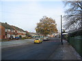


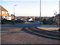
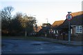

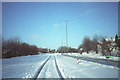
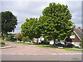
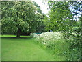
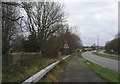
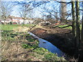
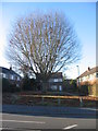
73 photos from this area
Area Information
Key information about the CV5 7HB including its size, population, and administrative classification.
- Area Type
- Postcode
- Area Size
- 1.3 hectares
- Population
- 1438
- Population Density
- 4858 people/km²
House Prices in CV5 7HB
34
Properties
£211,254
Average Sold Price
£70,000
Lowest Price
£465,000
Highest Price
Showing 34 properties
| Address | Type | Beds | Baths | Last Sale Price | Last Sale Date | |
|---|---|---|---|---|---|---|
| 83 Mount Nod Way, Coventry, CV5 7HB | Detached | 4 | 2 | £465,000 | Apr 2024 | |
| 95 Mount Nod Way, Coventry, CV5 7HB | Terraced | 3 | 1 | £272,888 | Dec 2022 | |
| 36 Mount Nod Way, Coventry, CV5 7HB | Retail | 3 | 1 | £310,000 | Oct 2022 | |
| 24A Mount Nod Way, Coventry, CV5 7HB | house | - | - | £365,000 | Sep 2022 | |
| 107 Mount Nod Way, Coventry, CV5 7HB | house | - | - | £230,000 | Dec 2021 | |
| 30 Mount Nod Way, Coventry, CV5 7HB | house | - | - | £295,000 | Sep 2021 | |
| 42 Mount Nod Way, Coventry, CV5 7HB | house | - | - | £262,500 | Dec 2020 | |
| 40 Mount Nod Way, Coventry, CV5 7HB | house | - | - | £260,000 | Aug 2020 | |
| 44 Mount Nod Way, Coventry, CV5 7HB | Semi-detached | 3 | 1 | £265,000 | Jun 2020 | |
| 109 Mount Nod Way, Coventry, CV5 7HB | Terraced | 3 | 1 | £210,000 | Jul 2019 |
Page 1 of 4
Energy Efficiency in CV5 7HB
Amenities
Schools
| Rank | School | Type | Entry gender | Ages |
|---|
Explore more schools in this area
Go to Schools tabDemographics
Household Size
Two person
most common
Accommodation Type
Houses
most common
Tenure
84
majority
Ethnic Group
White
most common
Religion
N/A
most common
Household Composition
N/A
most common
Age
47
median
Adults (30-64 years)
most common
Household Deprivation
N/A
with no deprivation
NS-SEC
35
in Lower managerial occupations
Explore more demographic insights in this area
Go to Demographics tabPlanning
Planning Constraints
- Flood RiskPremium
- Ramsar Wetland SitesPremium
- Area of Outstanding Natural BeautyPremium
- Protected Nature ReservePremium
- Protected WoodlandPremium