Area Overview for CV5 7FU
Photos of CV5 7FU
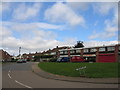
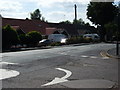
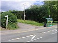
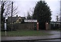
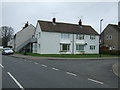
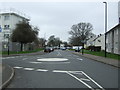

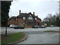
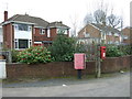
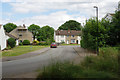
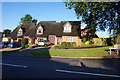
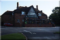
41 photos from this area
Area Information
Key information about the CV5 7FU including its size, population, and administrative classification.
- Area Type
- Postcode
- Area Size
- 8425 m²
- Population
- 1478
- Population Density
- 4635 people/km²
House Prices in CV5 7FU
22
Properties
£190,644
Average Sold Price
£60,000
Lowest Price
£310,000
Highest Price
Showing 22 properties
| Address | Type | Beds | Baths | Last Sale Price | Last Sale Date | |
|---|---|---|---|---|---|---|
| 24 Alandale Avenue, Coventry, CV5 7FU | Terraced | 3 | 1 | £211,000 | Jan 2024 | |
| 18 Alandale Avenue, Coventry, CV5 7FU | Terraced | 3 | 1 | £310,000 | Sep 2023 | |
| 22 Alandale Avenue, Coventry, CV5 7FU | house | - | - | £250,000 | Mar 2023 | |
| 4 Alandale Avenue, Coventry, CV5 7FU | Semi-detached | 3 | - | £295,000 | Sep 2022 | |
| 16 Alandale Avenue, Coventry, CV5 7FU | house | - | - | £220,000 | Aug 2021 | |
| 6 Alandale Avenue, Coventry, CV5 7FU | house | - | - | £241,000 | Mar 2021 | |
| 14 Alandale Avenue, Coventry, CV5 7FU | Terraced | 3 | 1 | £220,000 | Jul 2019 | |
| 11 Alandale Avenue, Coventry, CV5 7FU | Semi-detached | 3 | 1 | £286,000 | May 2019 | |
| 10 Alandale Avenue, Coventry, CV5 7FU | Semi-detached | 3 | 1 | £289,999 | Mar 2019 | |
| 15 Alandale Avenue, Coventry, CV5 7FU | Maisonette | 2 | 1 | £115,000 | Dec 2016 |
Page 1 of 3
Energy Efficiency in CV5 7FU
Amenities
Schools
| Rank | School | Type | Entry gender | Ages |
|---|
Explore more schools in this area
Go to Schools tabDemographics
Household Size
Two person
most common
Accommodation Type
Houses
most common
Tenure
88
majority
Ethnic Group
White
most common
Religion
N/A
most common
Household Composition
N/A
most common
Age
47
median
Adults (30-64 years)
most common
Household Deprivation
N/A
with no deprivation
NS-SEC
38
in Lower managerial occupations
Explore more demographic insights in this area
Go to Demographics tabPlanning
Planning Constraints
- Flood RiskPremium
- Ramsar Wetland SitesPremium
- Area of Outstanding Natural BeautyPremium
- Protected Nature ReservePremium
- Protected WoodlandPremium