Area Overview for CV5 6LJ
Photos of CV5 6LJ

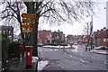
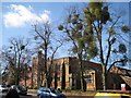
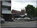
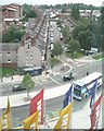
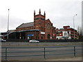
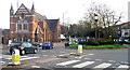
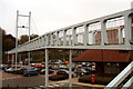
100 photos from this area
Area Information
Key information about the CV5 6LJ including its size, population, and administrative classification.
- Area Type
- Postcode
- Area Size
- 4871 m²
- Population
- 1291
- Population Density
- 11091 people/km²
House Prices in CV5 6LJ
21
Properties
£145,213
Average Sold Price
£70,500
Lowest Price
£195,000
Highest Price
Showing 21 properties
| Address | Type | Beds | Baths | Last Sale Price | Last Sale Date | |
|---|---|---|---|---|---|---|
| 28 Bristol Road, Coventry, CV5 6LJ | Terraced | 2 | 1 | £188,000 | Sep 2023 | |
| 34 Bristol Road, Coventry, CV5 6LJ | Terraced | 2 | 1 | £182,500 | Mar 2022 | |
| 24 Bristol Road, Coventry, CV5 6LJ | Terraced | 3 | 1 | £190,000 | Feb 2022 | |
| 40 Bristol Road, Coventry, CV5 6LJ | house | - | - | £173,000 | Feb 2022 | |
| 18 Bristol Road, Coventry, CV5 6LJ | Terraced | 2 | 1 | £165,000 | Oct 2021 | |
| 6 Bristol Road, Coventry, CV5 6LJ | Terraced | 2 | 1 | £195,000 | Oct 2021 | |
| 30 Bristol Road, Coventry, CV5 6LJ | Terraced | 2 | 1 | £162,000 | Sep 2021 | |
| 32 Bristol Road, Coventry, CV5 6LJ | house | - | - | £124,550 | Dec 2013 | |
| 36 Bristol Road, Coventry, CV5 6LJ | house | 2 | - | £95,000 | Jun 2011 | |
| 38 Bristol Road, Coventry, CV5 6LJ | house | - | - | £100,000 | Sep 2009 |
Page 1 of 3
Energy Efficiency in CV5 6LJ
Amenities
Schools
| Rank | School | Type | Entry gender | Ages |
|---|
Explore more schools in this area
Go to Schools tabDemographics
Household Size
Two person
most common
Accommodation Type
Houses
most common
Tenure
44
majority
Ethnic Group
White
most common
Religion
N/A
most common
Household Composition
N/A
most common
Age
47
median
Adults (30-64 years)
most common
Household Deprivation
N/A
with no deprivation
NS-SEC
29
in Lower managerial occupations
Explore more demographic insights in this area
Go to Demographics tabPlanning
Planning Constraints
- Flood RiskPremium
- Ramsar Wetland SitesPremium
- Area of Outstanding Natural BeautyPremium
- Protected Nature ReservePremium
- Protected WoodlandPremium