Area Overview for CV5 6FZ
Photos of CV5 6FZ

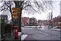
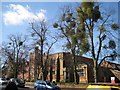
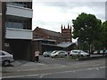
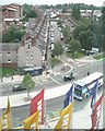
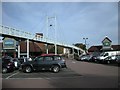
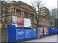
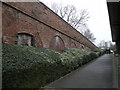
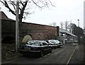
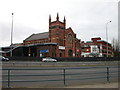
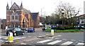
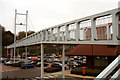
100 photos from this area
Area Information
Key information about the CV5 6FZ including its size, population, and administrative classification.
- Area Type
- Postcode
- Area Size
- 8822 m²
- Population
- 1344
- Population Density
- 8029 people/km²
House Prices in CV5 6FZ
19
Properties
£215,865
Average Sold Price
£45,650
Lowest Price
£275,000
Highest Price
Showing 19 properties
| Address | Type | Beds | Baths | Last Sale Price | Last Sale Date | |
|---|---|---|---|---|---|---|
| 146 Earlsdon Avenue North, Coventry, CV5 6FZ | Terraced | 1 | 1 | £265,000 | Dec 2024 | |
| 140 Earlsdon Avenue North, Coventry, CV5 6FZ | Terraced | 3 | 2 | £265,000 | Jun 2023 | |
| 136 Earlsdon Avenue North, Coventry, CV5 6FZ | Terraced | 3 | 1 | £275,000 | Feb 2023 | |
| 142 Earlsdon Avenue North, Coventry, CV5 6FZ | Terraced | 4 | 2 | £245,000 | Sep 2022 | |
| 158 Earlsdon Avenue North, Coventry, CV5 6FZ | Terraced | 3 | 2 | £237,500 | May 2022 | |
| 152 Earlsdon Avenue North, Coventry, CV5 6FZ | Terraced | 4 | 1 | £260,000 | Jun 2021 | |
| 130 Earlsdon Avenue North, Coventry, CV5 6FZ | house | 4 | 1 | £247,500 | Apr 2018 | |
| 144 Earlsdon Avenue North, Coventry, CV5 6FZ | Terraced | 4 | 1 | £195,000 | Nov 2015 | |
| 156 Earlsdon Avenue North, Coventry, CV5 6FZ | house | - | - | £123,000 | Mar 2006 | |
| 128 Earlsdon Avenue North, Coventry, CV5 6FZ | Flat | 1 | 1 | £45,650 | Sep 1996 |
Page 1 of 2
Energy Efficiency in CV5 6FZ
Amenities
Schools
| Rank | School | Type | Entry gender | Ages |
|---|
Explore more schools in this area
Go to Schools tabDemographics
Household Size
Family (3-5 people)
most common
Accommodation Type
Houses
most common
Tenure
66
majority
Ethnic Group
White
most common
Religion
N/A
most common
Household Composition
N/A
most common
Age
47
median
Adults (30-64 years)
most common
Household Deprivation
N/A
with no deprivation
NS-SEC
42
in Lower managerial occupations
Explore more demographic insights in this area
Go to Demographics tabPlanning
Planning Constraints
- Flood RiskPremium
- Ramsar Wetland SitesPremium
- Area of Outstanding Natural BeautyPremium
- Protected Nature ReservePremium
- Protected WoodlandPremium