Area Overview for CV5 6FQ
Photos of CV5 6FQ
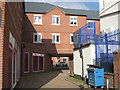
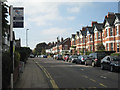
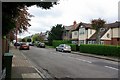
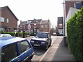
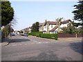
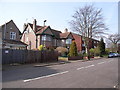
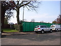
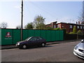
100 photos from this area
Area Information
Key information about the CV5 6FQ including its size, population, and administrative classification.
- Area Type
- Postcode
- Area Size
- 5.3 hectares
- Population
- 1384
- Population Density
- 1317 people/km²
House Prices in CV5 6FQ
25
Properties
£410,364
Average Sold Price
£134,500
Lowest Price
£785,000
Highest Price
Showing 25 properties
| Address | Type | Beds | Baths | Last Sale Price | Last Sale Date | |
|---|---|---|---|---|---|---|
| 103 Beechwood Avenue, Coventry, CV5 6FQ | house | - | - | £721,000 | Oct 2018 | |
| 107 Beechwood Avenue, Coventry, CV5 6FQ | house | - | - | £785,000 | Sep 2017 | |
| 109 Beechwood Avenue, Coventry, CV5 6FQ | Detached | 4 | - | £738,000 | Oct 2014 | |
| 127 Beechwood Avenue, Coventry, CV5 6FQ | house | - | - | £490,000 | Apr 2012 | |
| 125 Beechwood Avenue, Coventry, CV5 6FQ | Detached | 6 | 3 | £535,000 | Oct 2009 | |
| 99 Beechwood Avenue, Coventry, CV5 6FQ | Detached | - | - | £375,000 | Oct 2002 | |
| 105 Beechwood Avenue, Coventry, CV5 6FQ | Detached | - | - | £225,000 | Feb 1999 | |
| 129 Beechwood Avenue, Coventry, CV5 6FQ | Semi-detached | - | - | £160,000 | Nov 1997 | |
| 123 Beechwood Avenue, Coventry, CV5 6FQ | house | - | - | £159,500 | Aug 1997 | |
| 101 Beechwood Avenue, Coventry, CV5 6FQ | Detached | - | - | £134,500 | Apr 1997 |
Page 1 of 3
Energy Efficiency in CV5 6FQ
Amenities
Schools
| Rank | School | Type | Entry gender | Ages |
|---|
Explore more schools in this area
Go to Schools tabDemographics
Household Size
Two person
most common
Accommodation Type
Houses
most common
Tenure
94
majority
Ethnic Group
White
most common
Religion
N/A
most common
Household Composition
N/A
most common
Age
47
median
Adults (30-64 years)
most common
Household Deprivation
N/A
with no deprivation
NS-SEC
52
in Lower managerial occupations
Explore more demographic insights in this area
Go to Demographics tabPlanning
Planning Constraints
- Flood RiskPremium
- Ramsar Wetland SitesPremium
- Area of Outstanding Natural BeautyPremium
- Protected Nature ReservePremium
- Protected WoodlandPremium