Area Overview for CV5 6EE
Photos of CV5 6EE
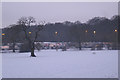
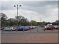
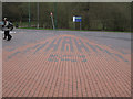
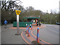
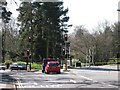
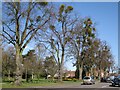
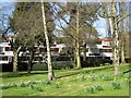
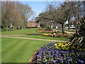
100 photos from this area
Area Information
Key information about the CV5 6EE including its size, population, and administrative classification.
- Area Type
- Postcode
- Area Size
- 5170 m²
- Population
- Not available
- Population Density
- Not available
House Prices in CV5 6EE
26
Properties
£159,983
Average Sold Price
£26,000
Lowest Price
£395,000
Highest Price
Showing 26 properties
| Address | Type | Beds | Baths | Last Sale Price | Last Sale Date | |
|---|---|---|---|---|---|---|
| 72 Berkeley Road South, Coventry, CV5 6EE | Maisonette | 2 | 1 | £175,000 | Oct 2024 | |
| 88 Berkeley Road South, Coventry, CV5 6EE | house | - | - | £275,000 | Dec 2022 | |
| 92 Berkeley Road South, Coventry, CV5 6EE | Terraced | 4 | - | £395,000 | Feb 2022 | |
| 98 Berkeley Road South, Coventry, CV5 6EE | Terraced | 2 | 1 | £191,000 | Sep 2016 | |
| 80 Berkeley Road South, Coventry, CV5 6EE | Maisonette | - | - | £125,000 | Feb 2016 | |
| 78 Berkeley Road South, Coventry, CV5 6EE | Maisonette | 2 | 1 | £112,000 | Feb 2016 | |
| 84 Berkeley Road South, Coventry, CV5 6EE | Terraced | 2 | - | £165,000 | Apr 2015 | |
| 106 Berkeley Road South, Coventry, CV5 6EE | house | - | - | £305,000 | Oct 2014 | |
| 80A Berkeley Road South, Coventry, CV5 6EE | Maisonette | - | - | £112,000 | Sep 2012 | |
| 74A Berkeley Road South, Coventry, CV5 6EE | Maisonette | 2 | 1 | £90,000 | Aug 2011 |
Page 1 of 3
Energy Efficiency in CV5 6EE
Amenities
Schools
| Rank | School | Type | Entry gender | Ages |
|---|
Explore more schools in this area
Go to Schools tabDemographics
Household Size
One person
most common
Accommodation Type
Houses
most common
Tenure
57
majority
Ethnic Group
White
most common
Religion
N/A
most common
Household Composition
N/A
most common
Age
47
median
Adults (30-64 years)
most common
Household Deprivation
N/A
with no deprivation
NS-SEC
45
in Lower managerial occupations
Explore more demographic insights in this area
Go to Demographics tabPlanning
Planning Constraints
- Flood RiskPremium
- Ramsar Wetland SitesPremium
- Area of Outstanding Natural BeautyPremium
- Protected Nature ReservePremium
- Protected WoodlandPremium