Area Overview for CV5 6BU
Photos of CV5 6BU
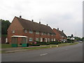
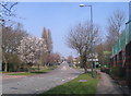
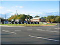
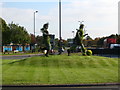
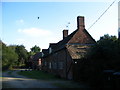
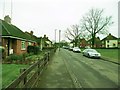
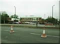
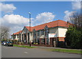
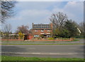
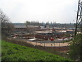
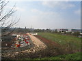
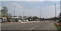
92 photos from this area
Area Information
Key information about the CV5 6BU including its size, population, and administrative classification.
- Area Type
- Postcode
- Area Size
- 1.6 hectares
- Population
- 1474
- Population Density
- 2059 people/km²
House Prices in CV5 6BU
13
Properties
£165,383
Average Sold Price
£57,950
Lowest Price
£310,000
Highest Price
Showing 13 properties
| Address | Type | Beds | Baths | Last Sale Price | Last Sale Date | |
|---|---|---|---|---|---|---|
| 37 Burnsall Road, Coventry, CV5 6BU | Detached | 3 | 1 | £228,500 | Mar 2025 | |
| 23 Burnsall Road, Coventry, CV5 6BU | house | 6 | - | £195,000 | Aug 2024 | |
| 35 Burnsall Road, Coventry, CV5 6BU | house | - | - | £310,000 | Dec 2022 | |
| 41 Burnsall Road, Coventry, CV5 6BU | Semi-detached | 3 | 1 | £210,000 | Mar 2022 | |
| 43 Burnsall Road, Coventry, CV5 6BU | Flat | 1 | 1 | £201,000 | Aug 2020 | |
| 27 Burnsall Road, Coventry, CV5 6BU | Terraced | 3 | 1 | £103,000 | May 2015 | |
| 33 Burnsall Road, Coventry, CV5 6BU | Semi-detached | 3 | 1 | £115,000 | Jul 2012 | |
| 29 Burnsall Road, Coventry, CV5 6BU | Terraced | - | - | £68,000 | Feb 2002 | |
| 25 Burnsall Road, Coventry, CV5 6BU | Terraced | - | - | £57,950 | Aug 2000 | |
| Flat Over, 21 Burnsall Road, Coventry, CV5 6BU | Industrial | 3 | 1 | - | - |
Page 1 of 2
Energy Efficiency in CV5 6BU
Amenities
Schools
| Rank | School | Type | Entry gender | Ages |
|---|
Explore more schools in this area
Go to Schools tabDemographics
Household Size
Two person
most common
Accommodation Type
Houses
most common
Tenure
86
majority
Ethnic Group
White
most common
Religion
N/A
most common
Household Composition
N/A
most common
Age
47
median
Adults (30-64 years)
most common
Household Deprivation
N/A
with no deprivation
NS-SEC
43
in Lower managerial occupations
Explore more demographic insights in this area
Go to Demographics tabPlanning
Planning Constraints
- Flood RiskPremium
- Ramsar Wetland SitesPremium
- Area of Outstanding Natural BeautyPremium
- Protected Nature ReservePremium
- Protected WoodlandPremium