Area Overview for CV47 9PB
Photos of CV47 9PB
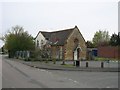
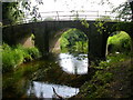
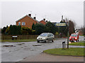
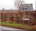
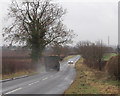
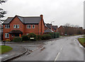
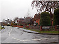
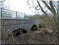
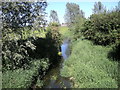
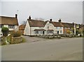
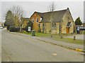
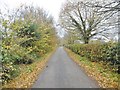
31 photos from this area
Area Information
Key information about the CV47 9PB including its size, population, and administrative classification.
- Area Type
- Postcode
- Area Size
- 8534 m²
- Population
- 1204
- Population Density
- 63 people/km²
House Prices in CV47 9PB
17
Properties
£308,550
Average Sold Price
£110,000
Lowest Price
£585,000
Highest Price
Showing 17 properties
| Address | Type | Beds | Baths | Last Sale Price | Last Sale Date | |
|---|---|---|---|---|---|---|
| 19 Short Lane, Long Itchington, CV47 9PB | Detached | 4 | 2 | £585,000 | Nov 2024 | |
| 10 Short Lane, Long Itchington, CV47 9PB | Detached | 4 | 1 | £440,000 | Jul 2023 | |
| 3 Short Lane, Long Itchington, CV47 9PB | Terraced | 2 | 1 | £130,000 | Mar 2022 | |
| 2 Short Lane, Long Itchington, CV47 9PB | Detached | 2 | 1 | £485,000 | May 2021 | |
| 5 Short Lane, Long Itchington, CV47 9PB | Semi-detached | 2 | 1 | £110,000 | Oct 2020 | |
| 15 Short Lane, Long Itchington, CV47 9PB | house | - | - | £270,000 | Sep 2009 | |
| 12 Short Lane, Long Itchington, CV47 9PB | house | - | - | £358,500 | Apr 2009 | |
| 17 Short Lane, Long Itchington, CV47 9PB | house | - | - | £415,000 | Jun 2006 | |
| 21 Short Lane, Long Itchington, CV47 9PB | Detached | - | - | £172,000 | Oct 1997 | |
| 11 Short Lane, Long Itchington, CV47 9PB | Detached | - | - | £119,995 | Dec 1996 |
Page 1 of 2
Energy Efficiency in CV47 9PB
Amenities
Schools
| Rank | School | Type | Entry gender | Ages |
|---|
Explore more schools in this area
Go to Schools tabDemographics
Household Size
Two person
most common
Accommodation Type
Houses
most common
Tenure
81
majority
Ethnic Group
White
most common
Religion
N/A
most common
Household Composition
N/A
most common
Age
47
median
Adults (30-64 years)
most common
Household Deprivation
N/A
with no deprivation
NS-SEC
48
in Lower managerial occupations
Explore more demographic insights in this area
Go to Demographics tabPlanning
Planning Constraints
- Flood RiskPremium
- Ramsar Wetland SitesPremium
- Area of Outstanding Natural BeautyPremium
- Protected Nature ReservePremium
- Protected WoodlandPremium