Area Overview for CV4 9ZG
Photos of CV4 9ZG

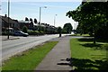
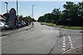
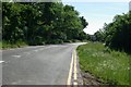
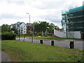
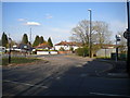
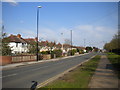
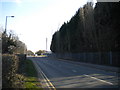
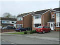
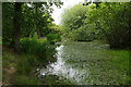
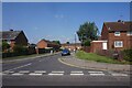
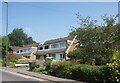
36 photos from this area
Area Information
Key information about the CV4 9ZG including its size, population, and administrative classification.
- Area Type
- Postcode
- Area Size
- 7.6 hectares
- Population
- 1600
- Population Density
- 6403 people/km²
House Prices in CV4 9ZG
68
Properties
£210,219
Average Sold Price
£144,995
Lowest Price
£322,000
Highest Price
Showing 68 properties
| Address | Type | Beds | Baths | Last Sale Price | Last Sale Date | |
|---|---|---|---|---|---|---|
| 53 Steinway, Coventry, CV4 9ZG | Detached | 3 | 1 | £298,000 | Apr 2025 | |
| 63 Steinway, Coventry, CV4 9ZG | Terraced | 3 | 2 | £265,000 | Oct 2024 | |
| 37 Steinway, Coventry, CV4 9ZG | Semi-detached | 2 | 2 | £225,000 | Dec 2023 | |
| 65 Steinway, Coventry, CV4 9ZG | Terraced | 3 | 3 | £245,000 | Jul 2023 | |
| 59 Steinway, Coventry, CV4 9ZG | house | 3 | 2 | £276,500 | Aug 2022 | |
| 57 Steinway, Coventry, CV4 9ZG | Semi-detached | 3 | 2 | £246,250 | Feb 2021 | |
| 39 Steinway, Coventry, CV4 9ZG | Semi-detached | 3 | 2 | £230,000 | Sep 2020 | |
| 23 Steinway, Coventry, CV4 9ZG | Semi-detached | 3 | 1 | £245,000 | Aug 2020 | |
| 49 Steinway, Coventry, CV4 9ZG | Detached | 4 | 2 | £322,000 | Aug 2018 | |
| 1 Steinway, Coventry, CV4 9ZG | house | 3 | - | £245,000 | Feb 2018 |
Page 1 of 7
Energy Efficiency in CV4 9ZG
Amenities
Schools
| Rank | School | Type | Entry gender | Ages |
|---|
Explore more schools in this area
Go to Schools tabDemographics
Household Size
One person
most common
Accommodation Type
Houses
most common
Tenure
55
majority
Ethnic Group
White
most common
Religion
N/A
most common
Household Composition
N/A
most common
Age
47
median
Adults (30-64 years)
most common
Household Deprivation
N/A
with no deprivation
NS-SEC
49
in Lower managerial occupations
Explore more demographic insights in this area
Go to Demographics tabPlanning
Planning Constraints
- Flood RiskPremium
- Ramsar Wetland SitesPremium
- Area of Outstanding Natural BeautyPremium
- Protected Nature ReservePremium
- Protected WoodlandPremium