Area Overview for CV4 9UN
Photos of CV4 9UN
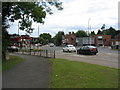
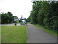
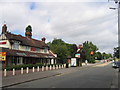
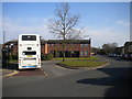
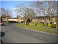
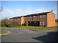
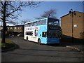
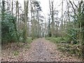
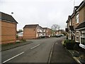
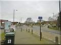

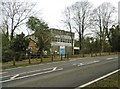
28 photos from this area
Area Information
Key information about the CV4 9UN including its size, population, and administrative classification.
- Area Type
- Postcode
- Area Size
- 1.9 hectares
- Population
- 1498
- Population Density
- 2517 people/km²
House Prices in CV4 9UN
11
Properties
£196,168
Average Sold Price
£91,000
Lowest Price
£338,000
Highest Price
Showing 11 properties
| Address | Type | Beds | Baths | Last Sale Price | Last Sale Date | |
|---|---|---|---|---|---|---|
| 4 Brockhurst Drive, Coventry, CV4 9UN | Detached | 3 | 3 | £330,000 | Jan 2019 | |
| 9 Brockhurst Drive, Coventry, CV4 9UN | house | 4 | - | £338,000 | Jul 2012 | |
| 3 Brockhurst Drive, Coventry, CV4 9UN | house | 4 | - | £257,000 | Jul 2012 | |
| 1 Brockhurst Drive, Coventry, CV4 9UN | house | - | - | £270,000 | Mar 2009 | |
| 5 Brockhurst Drive, Coventry, CV4 9UN | Detached | - | - | £300,000 | Nov 2008 | |
| 2 Brockhurst Drive, Coventry, CV4 9UN | Detached | 3 | - | £91,000 | Jan 1998 | |
| 15 Brockhurst Drive, Coventry, CV4 9UN | Detached | - | - | £133,950 | Feb 1997 | |
| 11 Brockhurst Drive, Coventry, CV4 9UN | Detached | - | - | £114,000 | Jan 1997 | |
| 7 Brockhurst Drive, Coventry, CV4 9UN | house | - | - | £99,450 | Dec 1996 | |
| 8 Brockhurst Drive, Coventry, CV4 9UN | Detached | - | - | £124,950 | Nov 1996 |
Page 1 of 2
Energy Efficiency in CV4 9UN
Amenities
Schools
| Rank | School | Type | Entry gender | Ages |
|---|
Explore more schools in this area
Go to Schools tabDemographics
Household Size
One person
most common
Accommodation Type
Houses
most common
Tenure
52
majority
Ethnic Group
White
most common
Religion
N/A
most common
Household Composition
N/A
most common
Age
47
median
Adults (30-64 years)
most common
Household Deprivation
N/A
with no deprivation
NS-SEC
29
in Lower managerial occupations
Explore more demographic insights in this area
Go to Demographics tabPlanning
Planning Constraints
- Flood RiskPremium
- Ramsar Wetland SitesPremium
- Area of Outstanding Natural BeautyPremium
- Protected Nature ReservePremium
- Protected WoodlandPremium