Area Overview for CV4 9ED
Photos of CV4 9ED
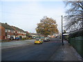
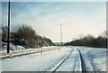
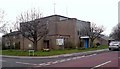
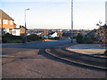
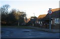
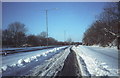
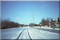
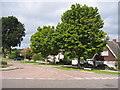
73 photos from this area
Area Information
Key information about the CV4 9ED including its size, population, and administrative classification.
- Area Type
- Postcode
- Area Size
- 1.6 hectares
- Population
- 1316
- Population Density
- 5038 people/km²
House Prices in CV4 9ED
23
Properties
£223,571
Average Sold Price
£65,000
Lowest Price
£465,000
Highest Price
Showing 23 properties
| Address | Type | Beds | Baths | Last Sale Price | Last Sale Date | |
|---|---|---|---|---|---|---|
| 90A Jobs Lane, Coventry, CV4 9ED | Bungalow | 3 | 3 | £465,000 | Oct 2024 | |
| 106 Jobs Lane, Coventry, CV4 9ED | Terraced | 3 | 1 | £260,000 | May 2024 | |
| 96 Jobs Lane, Coventry, CV4 9ED | Terraced | 3 | 1 | £248,000 | Nov 2020 | |
| 88A Jobs Lane, Coventry, CV4 9ED | Bungalow | 4 | 1 | £290,000 | Jul 2019 | |
| 88 Jobs Lane, Coventry, CV4 9ED | Bungalow | - | - | £320,000 | Jun 2019 | |
| 108 Jobs Lane, Coventry, CV4 9ED | Terraced | 3 | 1 | £187,000 | Apr 2015 | |
| 110A Jobs Lane, Coventry, CV4 9ED | house | - | - | £165,000 | Apr 2009 | |
| 86 Jobs Lane, Coventry, CV4 9ED | Semi-detached | 2 | 2 | £249,000 | Sep 2006 | |
| 92A Jobs Lane, Coventry, CV4 9ED | Detached | - | - | £310,000 | Feb 2005 | |
| 92 Jobs Lane, Coventry, CV4 9ED | Terraced | - | - | £244,000 | Feb 2005 |
Page 1 of 3
Energy Efficiency in CV4 9ED
Amenities
Schools
| Rank | School | Type | Entry gender | Ages |
|---|
Explore more schools in this area
Go to Schools tabDemographics
Household Size
Family (3-5 people)
most common
Accommodation Type
Houses
most common
Tenure
81
majority
Ethnic Group
White
most common
Religion
N/A
most common
Household Composition
N/A
most common
Age
47
median
Adults (30-64 years)
most common
Household Deprivation
N/A
with no deprivation
NS-SEC
34
in Lower managerial occupations
Explore more demographic insights in this area
Go to Demographics tabPlanning
Planning Constraints
- Flood RiskPremium
- Ramsar Wetland SitesPremium
- Area of Outstanding Natural BeautyPremium
- Protected Nature ReservePremium
- Protected WoodlandPremium