Area Overview for CV4 7EG
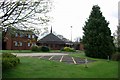
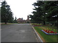
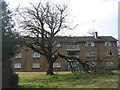
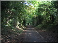
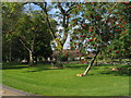
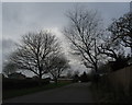
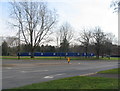
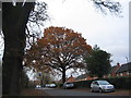
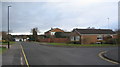
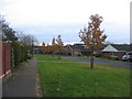
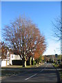
Photos of CV4 7EG

Area Information
CV4 7EG is a small, densely populated postcode area in north-west Coventry, England, with a population of 2,430 people spread across 2,110 people per square kilometre. Its semi-rural character persists from its historical roots as part of the Stoneleigh Estate, later incorporated into Coventry in 1927. The area is defined by its proximity to the University of Warwick, a major educational hub, and its integration into the broader Westwood Heath district. Daily life here is shaped by a young demographic, with 22-year-olds forming the median age and 47% of residents owning their homes. The area’s compact size and proximity to rail networks, including Canley and Tile Hill stations, make it accessible for commuters. Its low flood risk and absence of protected natural sites suggest a practical, low-maintenance living environment. However, the moderate crime risk score of 52 means residents should remain vigilant. For those seeking a blend of historical charm and modern convenience, CV4 7EG offers a distinct niche in Coventry’s urban landscape.
- Area Type
- Postcode
- Area Size
- Not available
- Population
- 2430
- Population Density
- 2110 people/km²
The property market in CV4 7EG is characterised by a 47% home ownership rate, with houses forming the primary accommodation type. This suggests a mix of owner-occupied and rental properties, though the exact balance between the two is unclear. The area’s small size and semi-rural setting mean housing stock is limited, potentially driving competition among buyers. For those considering purchase, the predominance of houses may appeal to families or individuals seeking space, though the lack of detailed data on property prices or development trends means buyers should explore nearby areas for broader options. The low flood risk and absence of planning constraints like AONB or protected woodlands make CV4 7EG a practical choice for those prioritising safety and ease of development.
House Prices in CV4 7EG
No properties found in this postcode.
Energy Efficiency in CV4 7EG
CV4 7EG offers a range of amenities within practical reach, including retail options like Tesco Cannon, Iceland Cannon, and Aldi Canon, which cater to everyday shopping needs. The area’s rail stations connect to broader networks, while Coventry Airport provides regional travel options. The semi-rural character of the area, rooted in its historical heathland and farmland, contrasts with the convenience of nearby urban centres. Residents can enjoy a mix of practical amenities and a quieter, historically rich environment, though the absence of detailed leisure or park data means further exploration is needed for recreational activities.
Amenities
Schools
The nearest educational institution to CV4 7EG is the University of Warwick, a higher education provider classified as an ‘other’ school type. No specific Ofsted rating is listed, but its presence indicates the area’s academic focus. For families requiring primary or secondary education, the data does not include local schools, so prospective residents should investigate nearby options in Coventry. The absence of detailed school information highlights a potential gap for families prioritising educational quality, though the proximity to a major university may offer alternative opportunities for higher education.
| Rank | School | Type | Entry gender | Ages |
|---|
Explore more schools in this area
Go to Schools tabDemographics
The population of CV4 7EG is overwhelmingly young, with a median age of 22 and 15-29-year-olds comprising the largest age group. This reflects a community skewed towards students and early-career professionals, likely influenced by the nearby University of Warwick. Home ownership is relatively low at 47%, suggesting a significant proportion of residents are renters, possibly students or temporary workers. The area’s accommodation is predominantly houses, which aligns with the semi-rural setting but contrasts with the higher density of the surrounding city. The predominant ethnic group is White, though no specific data on diversity or deprivation is provided. The youth demographic and moderate home ownership rates indicate a transient population, which may affect the social fabric and long-term stability of the area.
Household Size
Accommodation Type
Tenure
Ethnic Group
Religion
Household Composition
Age
Household Deprivation
NS-SEC
Explore more demographic insights in this area
Go to Demographics tabPlanning
Planning Constraints
- Flood RiskPremium
- Ramsar Wetland SitesPremium
- Area of Outstanding Natural BeautyPremium
- Protected Nature ReservePremium
- Protected WoodlandPremium