Area Overview for CV4 7AR
Photos of CV4 7AR
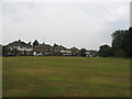
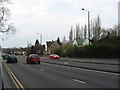
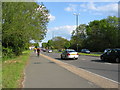
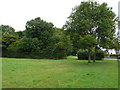
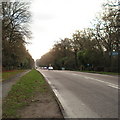
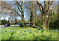
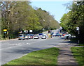
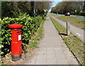
100 photos from this area
Area Information
Key information about the CV4 7AR including its size, population, and administrative classification.
- Area Type
- Postcode
- Area Size
- 5.4 hectares
- Population
- 1384
- Population Density
- 1317 people/km²
House Prices in CV4 7AR
33
Properties
£244,518
Average Sold Price
£60,500
Lowest Price
£475,000
Highest Price
Showing 33 properties
| Address | Type | Beds | Baths | Last Sale Price | Last Sale Date | |
|---|---|---|---|---|---|---|
| 10 Fletchamstead Highway, Coventry, CV4 7AR | house | - | - | £325,000 | Nov 2025 | |
| 66 Fletchamstead Highway, Coventry, CV4 7AR | Semi-detached | 5 | 2 | £342,500 | Jul 2022 | |
| 64 Fletchamstead Highway, Coventry, CV4 7AR | house | - | - | £394,000 | May 2022 | |
| 38 Fletchamstead Highway, Coventry, CV4 7AR | Semi-detached | 3 | 1 | £306,000 | Apr 2022 | |
| 14 Fletchamstead Highway, Coventry, CV4 7AR | Semi-detached | 4 | 2 | £385,000 | Mar 2022 | |
| 28 Fletchamstead Highway, Coventry, CV4 7AR | Semi-detached | 3 | 2 | £342,500 | Mar 2022 | |
| 44 Fletchamstead Highway, Coventry, CV4 7AR | Semi-detached | 4 | 2 | £372,000 | Mar 2022 | |
| 4 Fletchamstead Highway, Coventry, CV4 7AR | house | - | - | £290,000 | Apr 2021 | |
| 54 Fletchamstead Highway, Coventry, CV4 7AR | Detached | 4 | 2 | £475,000 | Dec 2019 | |
| 30 Fletchamstead Highway, Coventry, CV4 7AR | Semi-detached | 3 | 2 | £253,000 | Apr 2017 |
Page 1 of 4
Energy Efficiency in CV4 7AR
Amenities
Schools
| Rank | School | Type | Entry gender | Ages |
|---|
Explore more schools in this area
Go to Schools tabDemographics
Household Size
Two person
most common
Accommodation Type
Houses
most common
Tenure
94
majority
Ethnic Group
White
most common
Religion
N/A
most common
Household Composition
N/A
most common
Age
47
median
Adults (30-64 years)
most common
Household Deprivation
N/A
with no deprivation
NS-SEC
52
in Lower managerial occupations
Explore more demographic insights in this area
Go to Demographics tabPlanning
Planning Constraints
- Flood RiskPremium
- Ramsar Wetland SitesPremium
- Area of Outstanding Natural BeautyPremium
- Protected Nature ReservePremium
- Protected WoodlandPremium