Area Overview for CV36 4PE
Photos of CV36 4PE
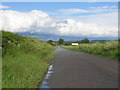
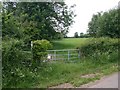
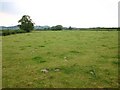
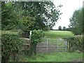
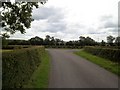
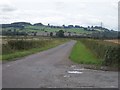
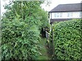
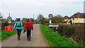
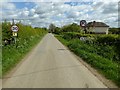
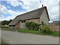
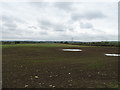
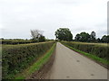
23 photos from this area
Area Information
Key information about the CV36 4PE including its size, population, and administrative classification.
- Area Type
- Postcode
- Area Size
- 1.7 km²
- Population
- 1252
- Population Density
- 58 people/km²
House Prices in CV36 4PE
62
Properties
£498,100
Average Sold Price
£110,000
Lowest Price
£1,130,000
Highest Price
Showing 62 properties
| Address | Type | Beds | Baths | Last Sale Price | Last Sale Date | |
|---|---|---|---|---|---|---|
| The Greyhouse, Ilmington Road, Blackwell, Tredington, CV36 4PE | Terraced | 3 | - | £715,000 | Aug 2025 | |
| Ash Tree House, Ilmington Road, Blackwell, Tredington, CV36 4PE | house | - | - | £1,130,000 | Mar 2025 | |
| Hirons Piece, Armscote Road, Blackwell, Tredington, CV36 4PE | house | - | - | £425,000 | May 2024 | |
| Pound Cottage, Shipston Road, Blackwell, Tredington, CV36 4PE | Semi-detached | 2 | 2 | £550,000 | Oct 2023 | |
| Gables Farm, Tredington Road, Blackwell, CV36 4PE | house | - | - | £900,000 | Jul 2023 | |
| Celsior Bungalow, Ilmington Road, Blackwell, Tredington, CV36 4PE | Bungalow | - | - | £390,000 | Jul 2023 | |
| Williams Barn, Shipston Road, Blackwell, Tredington, CV36 4PE | house | - | - | £790,000 | Feb 2023 | |
| Brook Cottage, Tredington Road, Blackwell, CV36 4PE | house | - | - | £518,000 | Dec 2021 | |
| Blackwell House, Tredington Road, Blackwell, CV36 4PE | Detached | 5 | 2 | £840,000 | Oct 2021 | |
| Dassett Cottage, Tredington Road, Blackwell, CV36 4PE | house | - | - | £595,000 | Mar 2021 |
Page 1 of 7
Energy Efficiency in CV36 4PE
Amenities
Schools
| Rank | School | Type | Entry gender | Ages |
|---|
Explore more schools in this area
Go to Schools tabDemographics
Household Size
Two person
most common
Accommodation Type
Houses
most common
Tenure
76
majority
Ethnic Group
White
most common
Religion
N/A
most common
Household Composition
N/A
most common
Age
47
median
Adults (30-64 years)
most common
Household Deprivation
N/A
with no deprivation
NS-SEC
43
in Lower managerial occupations
Explore more demographic insights in this area
Go to Demographics tabPlanning
Planning Constraints
- Flood RiskPremium
- Ramsar Wetland SitesPremium
- Area of Outstanding Natural BeautyPremium
- Protected Nature ReservePremium
- Protected WoodlandPremium