Area Overview for CV35 0QU
Photos of CV35 0QU
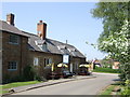
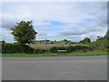
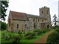
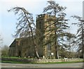
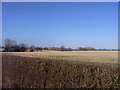
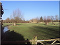
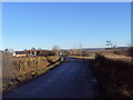
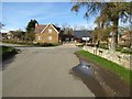
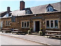
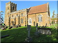
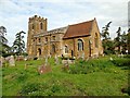
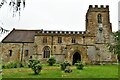
53 photos from this area
Area Information
Key information about the CV35 0QU including its size, population, and administrative classification.
- Area Type
- Postcode
- Area Size
- 2.9 hectares
- Population
- 2421
- Population Density
- 45 people/km²
House Prices in CV35 0QU
13
Properties
£433,800
Average Sold Price
£229,000
Lowest Price
£810,000
Highest Price
Showing 13 properties
| Address | Type | Beds | Baths | Last Sale Price | Last Sale Date | |
|---|---|---|---|---|---|---|
| 4, Peacock Cottages, Main Street, Oxhill, CV35 0QU | Semi-detached | 3 | 1 | £275,000 | Mar 2024 | |
| Oddcott, Main Street, Oxhill, CV35 0QU | Terraced | - | - | £575,000 | Mar 2023 | |
| Fern Cottage, Main Street, Oxhill, CV35 0QU | house | - | - | £810,000 | Jan 2019 | |
| Binswood Cottage, Main Street, Oxhill, CV35 0QU | house | - | - | £229,000 | Jun 2013 | |
| 2, Peacock Cottages, Main Street, Oxhill, CV35 0QU | house | - | - | £280,000 | Feb 2010 | |
| South View, Main Street, Oxhill, CV35 0QU | Detached | 5 | 2 | - | - | |
| Croftdown, Main Street, Oxhill, CV35 0QU | Detached | - | - | - | - | |
| 3, Peacock Cottages, Main Street, Oxhill, CV35 0QU | house | - | - | - | - | |
| 1, Peacock Cottages, Main Street, Oxhill, CV35 0QU | house | - | - | - | - | |
| The Birches, Main Street, Oxhill, CV35 0QU | Semi-detached | - | - | - | - |
Page 1 of 2
Energy Efficiency in CV35 0QU
Amenities
Schools
| Rank | School | Type | Entry gender | Ages |
|---|
Explore more schools in this area
Go to Schools tabDemographics
Household Size
Two person
most common
Accommodation Type
Houses
most common
Tenure
78
majority
Ethnic Group
White
most common
Religion
N/A
most common
Household Composition
N/A
most common
Age
47
median
Adults (30-64 years)
most common
Household Deprivation
N/A
with no deprivation
NS-SEC
45
in Lower managerial occupations
Explore more demographic insights in this area
Go to Demographics tabPlanning
Planning Constraints
- Flood RiskPremium
- Ramsar Wetland SitesPremium
- Area of Outstanding Natural BeautyPremium
- Protected Nature ReservePremium
- Protected WoodlandPremium