Area Overview for CV35 0ET
Photos of CV35 0ET
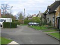
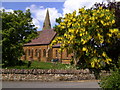
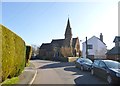
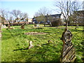
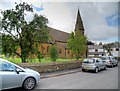
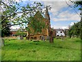
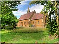

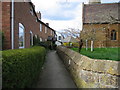
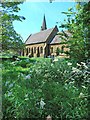
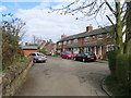
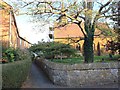
19 photos from this area
Area Information
Key information about the CV35 0ET including its size, population, and administrative classification.
- Area Type
- Postcode
- Area Size
- 8659 m²
- Population
- 1834
- Population Density
- 71 people/km²
House Prices in CV35 0ET
13
Properties
£269,214
Average Sold Price
£45,000
Lowest Price
£475,000
Highest Price
Showing 13 properties
| Address | Type | Beds | Baths | Last Sale Price | Last Sale Date | |
|---|---|---|---|---|---|---|
| Bedford House, Church Road, Gaydon, CV35 0ET | house | 3 | 1 | £475,000 | Oct 2019 | |
| Dormers, Church Road, Gaydon, CV35 0ET | Detached | 4 | 3 | £375,000 | Feb 2017 | |
| Gemini House, Church Road, Gaydon, CV35 0ET | Detached | 2 | - | £240,000 | Jul 2015 | |
| Old Cottage, Church Road, Gaydon, CV35 0ET | Detached | 3 | - | £365,000 | Feb 2014 | |
| Emcott, Church Road, Gaydon, CV35 0ET | Semi-detached | - | - | £248,000 | Jun 2005 | |
| Briar Cottage, Church Road, Gaydon, CV35 0ET | house | - | - | £136,500 | Mar 1999 | |
| Ragleth Cottage, Church Road, Gaydon, CV35 0ET | Semi-detached | - | - | £45,000 | Apr 1996 | |
| The Village Cottage, Church Road, Gaydon, CV35 0ET | Detached | 3 | 3 | - | - | |
| 2, Church Walk, Church Road, Gaydon, CV35 0ET | house | - | - | - | - | |
| Old House Cottage, Church Road, Gaydon, CV35 0ET | Detached | - | - | - | - |
Page 1 of 2
Energy Efficiency in CV35 0ET
Amenities
Schools
| Rank | School | Type | Entry gender | Ages |
|---|
Explore more schools in this area
Go to Schools tabDemographics
Household Size
Two person
most common
Accommodation Type
Houses
most common
Tenure
80
majority
Ethnic Group
White
most common
Religion
N/A
most common
Household Composition
N/A
most common
Age
47
median
Adults (30-64 years)
most common
Household Deprivation
N/A
with no deprivation
NS-SEC
49
in Lower managerial occupations
Explore more demographic insights in this area
Go to Demographics tabPlanning
Planning Constraints
- Flood RiskPremium
- Ramsar Wetland SitesPremium
- Area of Outstanding Natural BeautyPremium
- Protected Nature ReservePremium
- Protected WoodlandPremium