Area Overview for CV34 6AS
Photos of CV34 6AS
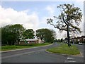
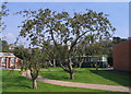
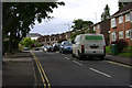
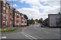
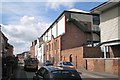
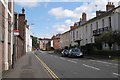
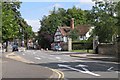
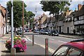
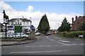
100 photos from this area
Area Information
Key information about the CV34 6AS including its size, population, and administrative classification.
- Area Type
- Postcode
- Area Size
- 2.1 hectares
- Population
- 1545
- Population Density
- 581 people/km²
House Prices in CV34 6AS
29
Properties
£363,437
Average Sold Price
£109,000
Lowest Price
£620,000
Highest Price
Showing 29 properties
| Address | Type | Beds | Baths | Last Sale Price | Last Sale Date | |
|---|---|---|---|---|---|---|
| 38 Stratford Road, Warwick, CV34 6AS | house | 3 | 1 | £320,500 | Jan 2025 | |
| 35 Stratford Road, Warwick, CV34 6AS | house | - | - | £555,000 | Apr 2022 | |
| 37 Stratford Road, Warwick, CV34 6AS | house | - | - | £475,000 | Jun 2021 | |
| 28 Stratford Road, Warwick, CV34 6AS | house | - | - | £530,000 | Mar 2021 | |
| 31 Stratford Road, Warwick, CV34 6AS | Detached | 4 | 3 | £620,000 | Dec 2017 | |
| 27 Stratford Road, Warwick, CV34 6AS | Bungalow | - | - | £365,000 | Aug 2016 | |
| 24 Stratford Road, Warwick, CV34 6AS | house | - | - | £490,000 | Jan 2016 | |
| 12 Stratford Road, Warwick, CV34 6AS | Terraced | 3 | - | £240,999 | Nov 2014 | |
| 13 Stratford Road, Warwick, CV34 6AS | Detached | 3 | 1 | £340,000 | May 2013 | |
| 14 Stratford Road, Warwick, CV34 6AS | Terraced | - | - | £109,000 | Jul 2011 |
Page 1 of 3
Energy Efficiency in CV34 6AS
Amenities
Schools
| Rank | School | Type | Entry gender | Ages |
|---|
Explore more schools in this area
Go to Schools tabDemographics
Household Size
Two person
most common
Accommodation Type
Houses
most common
Tenure
78
majority
Ethnic Group
White
most common
Religion
N/A
most common
Household Composition
N/A
most common
Age
47
median
Adults (30-64 years)
most common
Household Deprivation
N/A
with no deprivation
NS-SEC
52
in Lower managerial occupations
Explore more demographic insights in this area
Go to Demographics tabPlanning
Planning Constraints
- Flood RiskPremium
- Ramsar Wetland SitesPremium
- Area of Outstanding Natural BeautyPremium
- Protected Nature ReservePremium
- Protected WoodlandPremium