Area Overview for CV34 5PA
Photos of CV34 5PA
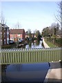
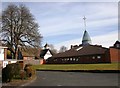
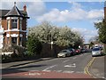
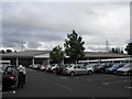
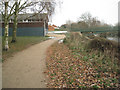
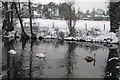

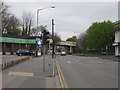
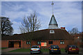

100 photos from this area
Area Information
Key information about the CV34 5PA including its size, population, and administrative classification.
- Area Type
- Postcode
- Area Size
- 1.8 hectares
- Population
- 2029
- Population Density
- 6937 people/km²
House Prices in CV34 5PA
68
Properties
£173,509
Average Sold Price
£53,000
Lowest Price
£350,000
Highest Price
Showing 68 properties
| Address | Type | Beds | Baths | Last Sale Price | Last Sale Date | |
|---|---|---|---|---|---|---|
| 103 Hill Street, Warwick, CV34 5PA | Semi-detached | 3 | 1 | £317,500 | May 2025 | |
| 99 Hill Street, Warwick, CV34 5PA | Semi-detached | 3 | 2 | £350,000 | May 2024 | |
| 44 Hill Street, Warwick, CV34 5PA | Terraced | 3 | - | £260,000 | Jul 2022 | |
| 36 Hill Street, Warwick, CV34 5PA | Terraced | 3 | 1 | £180,000 | May 2021 | |
| 101 Hill Street, Warwick, CV34 5PA | Semi-detached | 4 | - | £263,000 | Mar 2021 | |
| 89 Hill Street, Warwick, CV34 5PA | Detached | 2 | 1 | £321,225 | Sep 2020 | |
| 54 Hill Street, Warwick, CV34 5PA | house | - | - | £216,500 | Nov 2017 | |
| 91 Hill Street, Warwick, CV34 5PA | house | - | - | £273,000 | Sep 2017 | |
| 14 Hill Street, Warwick, CV34 5PA | Flat | 1 | 2 | £110,000 | Nov 2014 | |
| 46 Hill Street, Warwick, CV34 5PA | house | 3 | 1 | £156,000 | Aug 2013 |
Page 1 of 7
Energy Efficiency in CV34 5PA
Amenities
Schools
| Rank | School | Type | Entry gender | Ages |
|---|
Explore more schools in this area
Go to Schools tabDemographics
Household Size
One person
most common
Accommodation Type
Houses
most common
Tenure
57
majority
Ethnic Group
White
most common
Religion
N/A
most common
Household Composition
N/A
most common
Age
47
median
Adults (30-64 years)
most common
Household Deprivation
N/A
with no deprivation
NS-SEC
41
in Lower managerial occupations
Explore more demographic insights in this area
Go to Demographics tabPlanning
Planning Constraints
- Flood RiskPremium
- Ramsar Wetland SitesPremium
- Area of Outstanding Natural BeautyPremium
- Protected Nature ReservePremium
- Protected WoodlandPremium