Area Overview for CV31 1UP
Photos of CV31 1UP
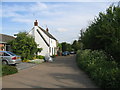
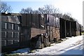
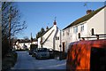
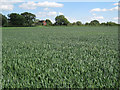
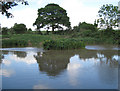
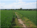
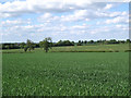
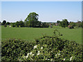
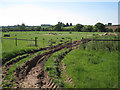
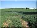
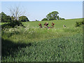
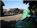
36 photos from this area
Area Information
Key information about the CV31 1UP including its size, population, and administrative classification.
- Area Type
- Postcode
- Area Size
- 6353 m²
- Population
- 1881
- Population Density
- 85 people/km²
House Prices in CV31 1UP
14
Properties
£265,167
Average Sold Price
£97,000
Lowest Price
£433,000
Highest Price
Showing 14 properties
| Address | Type | Beds | Baths | Last Sale Price | Last Sale Date | |
|---|---|---|---|---|---|---|
| 110 Lewis Road, Radford Semele, CV31 1UP | Semi-detached | 4 | 2 | £433,000 | Mar 2025 | |
| 94 Lewis Road, Radford Semele, CV31 1UP | Semi-detached | 4 | 1 | £370,000 | May 2023 | |
| 86 Lewis Road, Radford Semele, CV31 1UP | Semi-detached | 4 | 1 | £390,000 | Feb 2019 | |
| 106 Lewis Road, Radford Semele, CV31 1UP | house | - | - | £265,000 | Oct 2018 | |
| 108 Lewis Road, Radford Semele, CV31 1UP | Semi-detached | 3 | - | £301,000 | Nov 2014 | |
| 92 Lewis Road, Radford Semele, CV31 1UP | Bungalow | - | - | £151,000 | Apr 2010 | |
| 102 Lewis Road, Radford Semele, CV31 1UP | Semi-detached | - | - | £245,500 | Jun 2005 | |
| 100 Lewis Road, Radford Semele, CV31 1UP | Semi-detached | - | - | £134,000 | Dec 2000 | |
| 96 Lewis Road, Radford Semele, CV31 1UP | Semi-detached | - | - | £97,000 | Feb 1999 | |
| 112 Lewis Road, Radford Semele, CV31 1UP | Semi-detached | - | - | - | - |
Page 1 of 2
Energy Efficiency in CV31 1UP
Amenities
Schools
| Rank | School | Type | Entry gender | Ages |
|---|
Explore more schools in this area
Go to Schools tabDemographics
Household Size
Two person
most common
Accommodation Type
Houses
most common
Tenure
77
majority
Ethnic Group
White
most common
Religion
N/A
most common
Household Composition
N/A
most common
Age
47
median
Adults (30-64 years)
most common
Household Deprivation
N/A
with no deprivation
NS-SEC
49
in Lower managerial occupations
Explore more demographic insights in this area
Go to Demographics tabPlanning
Planning Constraints
- Flood RiskPremium
- Ramsar Wetland SitesPremium
- Area of Outstanding Natural BeautyPremium
- Protected Nature ReservePremium
- Protected WoodlandPremium