Area Overview for CV31 1TE
Photos of CV31 1TE
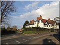
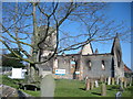
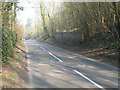
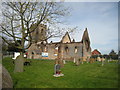
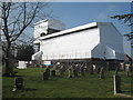
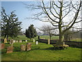
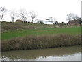
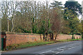
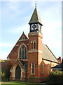
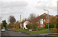
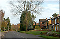
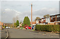
90 photos from this area
Area Information
Key information about the CV31 1TE including its size, population, and administrative classification.
- Area Type
- Postcode
- Area Size
- 7644 m²
- Population
- 1030
- Population Density
- 1420 people/km²
House Prices in CV31 1TE
8
Properties
£210,950
Average Sold Price
£87,000
Lowest Price
£288,750
Highest Price
Showing 8 properties
| Address | Type | Beds | Baths | Last Sale Price | Last Sale Date | |
|---|---|---|---|---|---|---|
| 66 Southam Road, Radford Semele, CV31 1TE | Cottage | 1 | 1 | £205,000 | Aug 2015 | |
| 62 Southam Road, Radford Semele, CV31 1TE | Bungalow | 3 | 1 | £249,000 | Nov 2013 | |
| 64 Southam Road, Radford Semele, CV31 1TE | Cottage | 1 | 1 | £288,750 | Oct 2005 | |
| 58 Southam Road, Radford Semele, CV31 1TE | Detached | - | - | £225,000 | May 2000 | |
| The Manor Cottage, 68 Southam Road, Radford Semele, CV31 1TE | house | - | - | £87,000 | Apr 1996 | |
| The Knowle, Southam Road, Radford Semele, CV31 1TE | undefined | - | - | - | - | |
| Flat, White Lion, 60 Southam Road, Radford Semele, CV31 1TE | restaurant_cafe | - | - | - | - | |
| The Gable House, Southam Road, Radford Semele, CV31 1TE | Semi-detached | - | - | - | - |
Energy Efficiency in CV31 1TE
Amenities
Schools
| Rank | School | Type | Entry gender | Ages |
|---|
Explore more schools in this area
Go to Schools tabDemographics
Household Size
Two person
most common
Accommodation Type
Houses
most common
Tenure
74
majority
Ethnic Group
White
most common
Religion
N/A
most common
Household Composition
N/A
most common
Age
47
median
Adults (30-64 years)
most common
Household Deprivation
N/A
with no deprivation
NS-SEC
44
in Lower managerial occupations
Explore more demographic insights in this area
Go to Demographics tabPlanning
Planning Constraints
- Flood RiskPremium
- Ramsar Wetland SitesPremium
- Area of Outstanding Natural BeautyPremium
- Protected Nature ReservePremium
- Protected WoodlandPremium