Area Overview for CV3 6EJ
Photos of CV3 6EJ
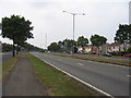
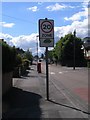
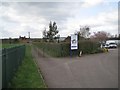
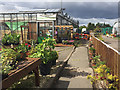

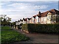
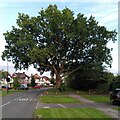

35 photos from this area
Area Information
Key information about the CV3 6EJ including its size, population, and administrative classification.
- Area Type
- Postcode
- Area Size
- 10.4 hectares
- Population
- 4079
- Population Density
- 130 people/km²
House Prices in CV3 6EJ
37
Properties
£273,423
Average Sold Price
£72,800
Lowest Price
£572,500
Highest Price
Showing 37 properties
| Address | Type | Beds | Baths | Last Sale Price | Last Sale Date | |
|---|---|---|---|---|---|---|
| 387 Green Lane, Finham, Coventry, CV3 6EJ | Semi-detached | 3 | 1 | £468,000 | Mar 2021 | |
| 355 Green Lane, Finham, Coventry, CV3 6EJ | Semi-detached | 4 | 2 | £362,500 | Nov 2020 | |
| 347 Green Lane, Finham, Coventry, CV3 6EJ | Semi-detached | 3 | 1 | £377,000 | Jan 2020 | |
| 391 Green Lane, Finham, Coventry, CV3 6EJ | house | - | - | £320,000 | Sep 2019 | |
| 353 Green Lane, Finham, Coventry, CV3 6EJ | Detached | 5 | - | £572,500 | Apr 2019 | |
| 375A Green Lane, Finham, Coventry, CV3 6EJ | Flat | - | - | £246,200 | Oct 2018 | |
| 393 Green Lane, Finham, Coventry, CV3 6EJ | Semi-detached | 4 | 2 | £288,000 | Apr 2018 | |
| 351 Green Lane, Finham, Coventry, CV3 6EJ | Semi-detached | 5 | 3 | £413,000 | Nov 2017 | |
| 337 Green Lane, Finham, Coventry, CV3 6EJ | Semi-detached | 4 | 2 | £380,101 | Sep 2017 | |
| 349 Green Lane, Finham, Coventry, CV3 6EJ | Semi-detached | 4 | 2 | £410,000 | Jul 2017 |
Page 1 of 4
Energy Efficiency in CV3 6EJ
Amenities
Schools
| Rank | School | Type | Entry gender | Ages |
|---|
Explore more schools in this area
Go to Schools tabDemographics
Household Size
Two person
most common
Accommodation Type
Houses
most common
Tenure
80
majority
Ethnic Group
White
most common
Religion
N/A
most common
Household Composition
N/A
most common
Age
22
median
Young Adults (15-29 years)
most common
Household Deprivation
N/A
with no deprivation
NS-SEC
19
in Lower managerial occupations
Explore more demographic insights in this area
Go to Demographics tabPlanning
Planning Constraints
- Flood RiskPremium
- Ramsar Wetland SitesPremium
- Area of Outstanding Natural BeautyPremium
- Protected Nature ReservePremium
- Protected WoodlandPremium