Area Overview for CV3 5BG
Photos of CV3 5BG
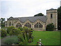
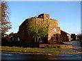
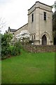
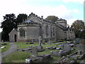
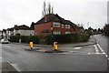
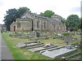
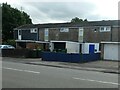
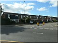
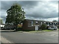
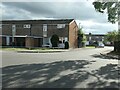
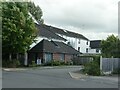
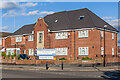
27 photos from this area
Area Information
Key information about the CV3 5BG including its size, population, and administrative classification.
- Area Type
- Postcode
- Area Size
- 3983 m²
- Population
- 1578
- Population Density
- 5251 people/km²
House Prices in CV3 5BG
10
Properties
£157,800
Average Sold Price
£107,000
Lowest Price
£217,000
Highest Price
Showing 10 properties
| Address | Type | Beds | Baths | Last Sale Price | Last Sale Date | |
|---|---|---|---|---|---|---|
| 125 The Chesils, Coventry, CV3 5BG | Semi-detached | 2 | 1 | £217,000 | Aug 2025 | |
| 127 The Chesils, Coventry, CV3 5BG | Bungalow | 2 | 1 | £165,000 | Oct 2019 | |
| 117 The Chesils, Coventry, CV3 5BG | Terraced | 3 | 2 | £135,000 | May 2011 | |
| 119 The Chesils, Coventry, CV3 5BG | Terraced | 3 | 3 | £165,000 | Mar 2008 | |
| 123 The Chesils, Coventry, CV3 5BG | house | - | - | £107,000 | Nov 2002 | |
| 115 The Chesils, Coventry, CV3 5BG | Terraced | 3 | 1 | - | - | |
| 123A The Chesils, Coventry, CV3 5BG | house | - | - | - | - | |
| 121 The Chesils, Coventry, CV3 5BG | Terraced | - | - | - | - | |
| 113 The Chesils, Coventry, CV3 5BG | Semi-detached | - | - | - | - | |
| 123B The Chesils, Coventry, CV3 5BG | house | - | - | - | - |
Energy Efficiency in CV3 5BG
Amenities
Schools
| Rank | School | Type | Entry gender | Ages |
|---|
Explore more schools in this area
Go to Schools tabDemographics
Household Size
One person
most common
Accommodation Type
Houses
most common
Tenure
54
majority
Ethnic Group
White
most common
Religion
N/A
most common
Household Composition
N/A
most common
Age
47
median
Adults (30-64 years)
most common
Household Deprivation
N/A
with no deprivation
NS-SEC
33
in Lower managerial occupations
Explore more demographic insights in this area
Go to Demographics tabPlanning
Planning Constraints
- Flood RiskPremium
- Ramsar Wetland SitesPremium
- Area of Outstanding Natural BeautyPremium
- Protected Nature ReservePremium
- Protected WoodlandPremium