Area Overview for CV23 9BP
Photos of CV23 9BP
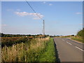
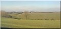
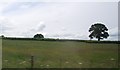
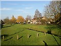
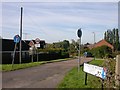
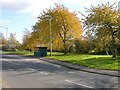
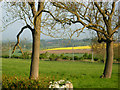
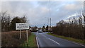
8 photos from this area
Area Information
Key information about the CV23 9BP including its size, population, and administrative classification.
- Area Type
- Postcode
- Area Size
- 9099 m²
- Population
- 1687
- Population Density
- 353 people/km²
House Prices in CV23 9BP
16
Properties
£271,300
Average Sold Price
£115,000
Lowest Price
£465,000
Highest Price
Showing 16 properties
| Address | Type | Beds | Baths | Last Sale Price | Last Sale Date | |
|---|---|---|---|---|---|---|
| 25 South View Road, Long Lawford, CV23 9BP | Detached | 2 | 1 | £320,000 | Dec 2025 | |
| 31 South View Road, Long Lawford, CV23 9BP | Bungalow | 4 | 2 | £465,000 | May 2025 | |
| 21 South View Road, Long Lawford, CV23 9BP | Bungalow | 2 | 1 | £300,000 | Feb 2023 | |
| 1 South View Road, Long Lawford, CV23 9BP | Bungalow | 2 | 1 | £300,000 | Sep 2021 | |
| 5 South View Road, Long Lawford, CV23 9BP | Bungalow | 2 | 1 | £285,000 | Apr 2021 | |
| 17 South View Road, Long Lawford, CV23 9BP | Bungalow | 3 | 1 | £258,000 | Oct 2018 | |
| 27 South View Road, Long Lawford, CV23 9BP | Bungalow | - | - | £250,000 | Apr 2018 | |
| 15 South View Road, Long Lawford, CV23 9BP | Semi-detached | 3 | 2 | £250,000 | Jun 2017 | |
| 13 South View Road, Long Lawford, CV23 9BP | Detached | - | - | £170,000 | Nov 2012 | |
| 9 South View Road, Long Lawford, CV23 9BP | Detached | - | - | £115,000 | Sep 2001 |
Page 1 of 2
Energy Efficiency in CV23 9BP
Amenities
Schools
| Rank | School | Type | Entry gender | Ages |
|---|
Explore more schools in this area
Go to Schools tabDemographics
Household Size
Family (3-5 people)
most common
Accommodation Type
Houses
most common
Tenure
84
majority
Ethnic Group
White
most common
Religion
N/A
most common
Household Composition
N/A
most common
Age
47
median
Adults (30-64 years)
most common
Household Deprivation
N/A
with no deprivation
NS-SEC
39
in Lower managerial occupations
Explore more demographic insights in this area
Go to Demographics tabPlanning
Planning Constraints
- Flood RiskPremium
- Ramsar Wetland SitesPremium
- Area of Outstanding Natural BeautyPremium
- Protected Nature ReservePremium
- Protected WoodlandPremium