Area Overview for CV22 7LL
Photos of CV22 7LL
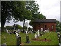
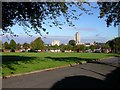
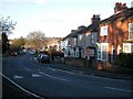
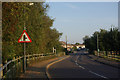
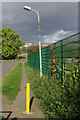
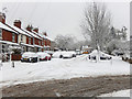
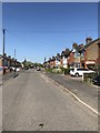
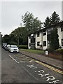
58 photos from this area
Area Information
Key information about the CV22 7LL including its size, population, and administrative classification.
- Area Type
- Postcode
- Area Size
- 5758 m²
- Population
- 1839
- Population Density
- 4132 people/km²
House Prices in CV22 7LL
12
Properties
£199,994
Average Sold Price
£59,000
Lowest Price
£295,000
Highest Price
Showing 12 properties
| Address | Type | Beds | Baths | Last Sale Price | Last Sale Date | |
|---|---|---|---|---|---|---|
| 59 Wheatfield Road, Bilton, Rugby, CV22 7LL | Semi-detached | 3 | 1 | £295,000 | Mar 2025 | |
| 53 Wheatfield Road, Bilton, Rugby, CV22 7LL | Semi-detached | 3 | 1 | £235,000 | Jul 2021 | |
| 61 Wheatfield Road, Bilton, Rugby, CV22 7LL | Semi-detached | 3 | 1 | £275,000 | Jun 2020 | |
| 72 Wheatfield Road, Bilton, Rugby, CV22 7LL | Semi-detached | 3 | 2 | £260,000 | Dec 2019 | |
| 68 Wheatfield Road, Bilton, Rugby, CV22 7LL | house | - | - | £227,500 | Aug 2017 | |
| 57 Wheatfield Road, Bilton, Rugby, CV22 7LL | house | 3 | - | £123,450 | Jul 2010 | |
| 55 Wheatfield Road, Bilton, Rugby, CV22 7LL | house | - | - | £125,000 | Mar 2004 | |
| 74 Wheatfield Road, Bilton, Rugby, CV22 7LL | Semi-detached | - | - | £59,000 | Jun 1997 | |
| 63 Wheatfield Road, Bilton, Rugby, CV22 7LL | Semi-detached | - | - | - | - | |
| 66 Wheatfield Road, Bilton, Rugby, CV22 7LL | Semi-detached | - | - | - | - |
Page 1 of 2
Energy Efficiency in CV22 7LL
Amenities
Schools
| Rank | School | Type | Entry gender | Ages |
|---|
Explore more schools in this area
Go to Schools tabDemographics
Household Size
Two person
most common
Accommodation Type
Houses
most common
Tenure
74
majority
Ethnic Group
White
most common
Religion
N/A
most common
Household Composition
N/A
most common
Age
47
median
Adults (30-64 years)
most common
Household Deprivation
N/A
with no deprivation
NS-SEC
35
in Lower managerial occupations
Explore more demographic insights in this area
Go to Demographics tabPlanning
Planning Constraints
- Flood RiskPremium
- Ramsar Wetland SitesPremium
- Area of Outstanding Natural BeautyPremium
- Protected Nature ReservePremium
- Protected WoodlandPremium