Area Overview for CV22 6RR
Photos of CV22 6RR
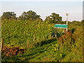
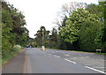
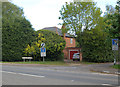
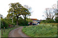
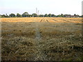
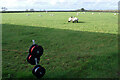
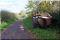
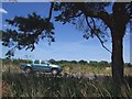
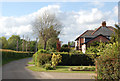
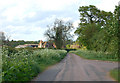
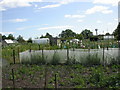
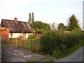
34 photos from this area
Area Information
Key information about the CV22 6RR including its size, population, and administrative classification.
- Area Type
- Postcode
- Area Size
- 6.6 hectares
- Population
- 1455
- Population Density
- 104 people/km²
House Prices in CV22 6RR
16
Properties
£325,578
Average Sold Price
£131,950
Lowest Price
£635,000
Highest Price
Showing 16 properties
| Address | Type | Beds | Baths | Last Sale Price | Last Sale Date | |
|---|---|---|---|---|---|---|
| 11 Brook View, Dunchurch, CV22 6RR | Detached | 4 | 2 | £635,000 | Nov 2024 | |
| 12 Brook View, Dunchurch, CV22 6RR | house | - | - | £565,000 | Nov 2021 | |
| 7 Brook View, Dunchurch, CV22 6RR | Detached | 4 | 3 | £445,000 | Sep 2020 | |
| 14 Brook View, Dunchurch, CV22 6RR | house | - | - | £490,000 | May 2019 | |
| 15 Brook View, Dunchurch, CV22 6RR | Detached | 4 | 2 | £406,000 | Sep 2017 | |
| 9 Brook View, Dunchurch, CV22 6RR | Detached | 4 | 2 | £385,000 | Jul 2015 | |
| 3 Brook View, Dunchurch, CV22 6RR | Detached | 4 | 2 | £356,000 | Jul 2014 | |
| 8 Brook View, Dunchurch, CV22 6RR | Detached | - | - | £450,000 | Aug 2012 | |
| 1 Brook View, Dunchurch, CV22 6RR | Detached | - | - | £298,000 | Apr 2005 | |
| Garfields, 6 Brook View, Dunchurch, CV22 6RR | Detached | 4 | - | £288,500 | Dec 2002 |
Page 1 of 2
Energy Efficiency in CV22 6RR
Amenities
Schools
| Rank | School | Type | Entry gender | Ages |
|---|
Explore more schools in this area
Go to Schools tabDemographics
Household Size
Two person
most common
Accommodation Type
Houses
most common
Tenure
93
majority
Ethnic Group
White
most common
Religion
N/A
most common
Household Composition
N/A
most common
Age
47
median
Elderly (65+ years)
most common
Household Deprivation
N/A
with no deprivation
NS-SEC
51
in Lower managerial occupations
Explore more demographic insights in this area
Go to Demographics tabPlanning
Planning Constraints
- Flood RiskPremium
- Ramsar Wetland SitesPremium
- Area of Outstanding Natural BeautyPremium
- Protected Nature ReservePremium
- Protected WoodlandPremium