Area Overview for CV22 6DN
Photos of CV22 6DN
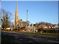
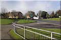
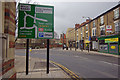
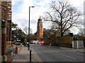
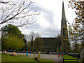
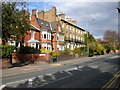
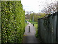
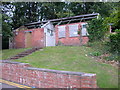
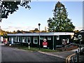
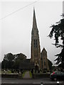
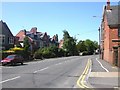
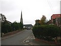
100 photos from this area
Area Information
Key information about the CV22 6DN including its size, population, and administrative classification.
- Area Type
- Postcode
- Area Size
- 1.0 hectares
- Population
- 1539
- Population Density
- 2420 people/km²
House Prices in CV22 6DN
29
Properties
£203,125
Average Sold Price
£50,000
Lowest Price
£300,000
Highest Price
Showing 29 properties
| Address | Type | Beds | Baths | Last Sale Price | Last Sale Date | |
|---|---|---|---|---|---|---|
| 41 Alfred Green Close, Rugby, CV22 6DN | house | - | - | £300,000 | Dec 2024 | |
| 55 Alfred Green Close, Rugby, CV22 6DN | house | - | - | £260,000 | Aug 2024 | |
| 9 Alfred Green Close, Rugby, CV22 6DN | Terraced | 3 | 1 | £200,000 | Jun 2023 | |
| 35 Alfred Green Close, Rugby, CV22 6DN | Terraced | 3 | 1 | £189,500 | Jun 2023 | |
| 17 Alfred Green Close, Rugby, CV22 6DN | Terraced | 3 | 1 | £179,000 | Mar 2023 | |
| 37 Alfred Green Close, Rugby, CV22 6DN | Terraced | 3 | 1 | £188,500 | Nov 2022 | |
| 53 Alfred Green Close, Rugby, CV22 6DN | Terraced | 3 | 3 | £250,000 | Apr 2021 | |
| 49 Alfred Green Close, Rugby, CV22 6DN | house | - | - | £265,000 | Mar 2021 | |
| 51 Alfred Green Close, Rugby, CV22 6DN | house | - | - | £260,000 | Mar 2021 | |
| 47 Alfred Green Close, Rugby, CV22 6DN | house | - | - | £265,000 | Jan 2021 |
Page 1 of 3
Energy Efficiency in CV22 6DN
Amenities
Schools
| Rank | School | Type | Entry gender | Ages |
|---|
Explore more schools in this area
Go to Schools tabDemographics
Household Size
One person
most common
Accommodation Type
Flats
most common
Tenure
34
majority
Ethnic Group
White
most common
Religion
N/A
most common
Household Composition
N/A
most common
Age
22
median
Young Adults (15-29 years)
most common
Household Deprivation
N/A
with no deprivation
NS-SEC
26
in Lower managerial occupations
Explore more demographic insights in this area
Go to Demographics tabPlanning
Planning Constraints
- Flood RiskPremium
- Ramsar Wetland SitesPremium
- Area of Outstanding Natural BeautyPremium
- Protected Nature ReservePremium
- Protected WoodlandPremium