Area Overview for CV2 5HF
Photos of CV2 5HF
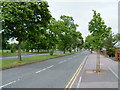
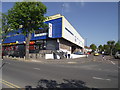
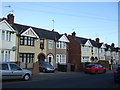
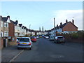
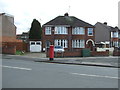
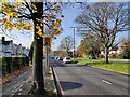
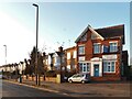
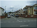


18 photos from this area
Area Information
Key information about the CV2 5HF including its size, population, and administrative classification.
- Area Type
- Postcode
- Area Size
- 1.0 hectares
- Population
- 1456
- Population Density
- 7034 people/km²
House Prices in CV2 5HF
36
Properties
£147,640
Average Sold Price
£52,000
Lowest Price
£256,000
Highest Price
Showing 36 properties
| Address | Type | Beds | Baths | Last Sale Price | Last Sale Date | |
|---|---|---|---|---|---|---|
| 60 Longfellow Road, Coventry, CV2 5HF | Terraced | 3 | 1 | £205,000 | Jul 2024 | |
| 118 Longfellow Road, Coventry, CV2 5HF | house | - | - | £213,000 | Jul 2023 | |
| 72 Longfellow Road, Coventry, CV2 5HF | house | - | - | £200,000 | Nov 2021 | |
| 110 Longfellow Road, Coventry, CV2 5HF | house | - | - | £178,000 | Jun 2021 | |
| 126 Longfellow Road, Coventry, CV2 5HF | house | - | - | £256,000 | May 2021 | |
| 100 Longfellow Road, Coventry, CV2 5HF | house | - | - | £193,000 | Oct 2020 | |
| 80 Longfellow Road, Coventry, CV2 5HF | Terraced | 3 | 1 | £175,000 | Sep 2019 | |
| 96 Longfellow Road, Coventry, CV2 5HF | Detached | 3 | 2 | £212,000 | Mar 2019 | |
| 114 Longfellow Road, Coventry, CV2 5HF | Terraced | 3 | 1 | £182,000 | Oct 2018 | |
| 64 Longfellow Road, Coventry, CV2 5HF | house | - | - | £165,000 | Oct 2017 |
Page 1 of 4
Energy Efficiency in CV2 5HF
Amenities
Schools
| Rank | School | Type | Entry gender | Ages |
|---|
Explore more schools in this area
Go to Schools tabDemographics
Household Size
Family (3-5 people)
most common
Accommodation Type
Houses
most common
Tenure
78
majority
Ethnic Group
White
most common
Religion
N/A
most common
Household Composition
N/A
most common
Age
47
median
Adults (30-64 years)
most common
Household Deprivation
N/A
with no deprivation
NS-SEC
30
in Lower managerial occupations
Explore more demographic insights in this area
Go to Demographics tabPlanning
Planning Constraints
- Flood RiskPremium
- Ramsar Wetland SitesPremium
- Area of Outstanding Natural BeautyPremium
- Protected Nature ReservePremium
- Protected WoodlandPremium