Area Overview for CV2 5FP
Photos of CV2 5FP
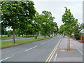
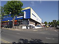
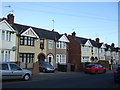
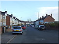
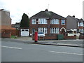
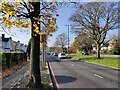
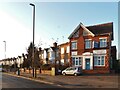
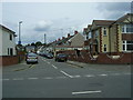

18 photos from this area
Area Information
Key information about the CV2 5FP including its size, population, and administrative classification.
- Area Type
- Postcode
- Area Size
- 1.3 hectares
- Population
- 1406
- Population Density
- 3731 people/km²
House Prices in CV2 5FP
32
Properties
£160,236
Average Sold Price
£66,000
Lowest Price
£250,000
Highest Price
Showing 32 properties
| Address | Type | Beds | Baths | Last Sale Price | Last Sale Date | |
|---|---|---|---|---|---|---|
| 245 Hipswell Highway, Coventry, CV2 5FP | house | - | - | £235,000 | Feb 2025 | |
| 237 Hipswell Highway, Coventry, CV2 5FP | Terraced | 3 | 1 | £210,000 | Oct 2023 | |
| 233 Hipswell Highway, Coventry, CV2 5FP | Terraced | 3 | 1 | £250,000 | Apr 2023 | |
| 229 Hipswell Highway, Coventry, CV2 5FP | Semi-detached | 4 | - | £225,000 | Jan 2021 | |
| 273 Hipswell Highway, Coventry, CV2 5FP | Terraced | 3 | 1 | £180,000 | Sep 2020 | |
| 281 Hipswell Highway, Coventry, CV2 5FP | Terraced | 3 | 2 | £169,000 | Sep 2019 | |
| 259 Hipswell Highway, Coventry, CV2 5FP | house | - | - | £205,000 | May 2018 | |
| 277 Hipswell Highway, Coventry, CV2 5FP | house | - | - | £151,000 | Jan 2017 | |
| 249 Hipswell Highway, Coventry, CV2 5FP | house | - | - | £156,000 | Jun 2016 | |
| 247 Hipswell Highway, Coventry, CV2 5FP | house | - | - | £140,000 | Jun 2016 |
Page 1 of 4
Energy Efficiency in CV2 5FP
Amenities
Schools
| Rank | School | Type | Entry gender | Ages |
|---|
Explore more schools in this area
Go to Schools tabDemographics
Household Size
Two person
most common
Accommodation Type
Houses
most common
Tenure
79
majority
Ethnic Group
White
most common
Religion
N/A
most common
Household Composition
N/A
most common
Age
47
median
Adults (30-64 years)
most common
Household Deprivation
N/A
with no deprivation
NS-SEC
30
in Lower managerial occupations
Explore more demographic insights in this area
Go to Demographics tabPlanning
Planning Constraints
- Flood RiskPremium
- Ramsar Wetland SitesPremium
- Area of Outstanding Natural BeautyPremium
- Protected Nature ReservePremium
- Protected WoodlandPremium