Area Overview for CV2 5AG
Photos of CV2 5AG
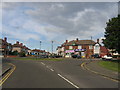
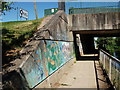
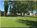
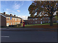
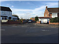
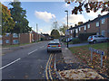
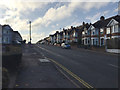
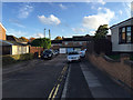
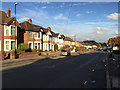
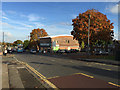

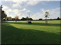
62 photos from this area
Area Information
Key information about the CV2 5AG including its size, population, and administrative classification.
- Area Type
- Postcode
- Area Size
- 1.1 hectares
- Population
- 1830
- Population Density
- 3934 people/km²
House Prices in CV2 5AG
22
Properties
£108,357
Average Sold Price
£30,000
Lowest Price
£186,000
Highest Price
Showing 22 properties
| Address | Type | Beds | Baths | Last Sale Price | Last Sale Date | |
|---|---|---|---|---|---|---|
| 88 St Austell Road, Coventry, CV2 5AG | house | - | - | £186,000 | Jan 2022 | |
| 104 St Austell Road, Coventry, CV2 5AG | Semi-detached | 3 | 1 | £165,000 | Jul 2018 | |
| 90 St Austell Road, Coventry, CV2 5AG | Semi-detached | 3 | - | £142,000 | Jan 2016 | |
| 126 St Austell Road, Coventry, CV2 5AG | Terraced | 3 | - | £165,500 | Jul 2015 | |
| 122 St Austell Road, Coventry, CV2 5AG | Semi-detached | - | - | £130,000 | Jul 2015 | |
| 102 St Austell Road, Coventry, CV2 5AG | house | - | - | £100,000 | Oct 2012 | |
| 118 St Austell Road, Coventry, CV2 5AG | house | 3 | - | £120,000 | Nov 2011 | |
| 84 St Austell Road, Coventry, CV2 5AG | house | 3 | - | £117,500 | Nov 2011 | |
| 124 St Austell Road, Coventry, CV2 5AG | house | 3 | - | £98,000 | Jul 2010 | |
| 86 St Austell Road, Coventry, CV2 5AG | Terraced | - | - | £125,000 | Aug 2006 |
Page 1 of 3
Energy Efficiency in CV2 5AG
Amenities
Schools
| Rank | School | Type | Entry gender | Ages |
|---|
Explore more schools in this area
Go to Schools tabDemographics
Household Size
One person
most common
Accommodation Type
Flats
most common
Tenure
33
majority
Ethnic Group
White
most common
Religion
N/A
most common
Household Composition
N/A
most common
Age
47
median
Adults (30-64 years)
most common
Household Deprivation
N/A
with no deprivation
NS-SEC
17
in Lower managerial occupations
Explore more demographic insights in this area
Go to Demographics tabPlanning
Planning Constraints
- Flood RiskPremium
- Ramsar Wetland SitesPremium
- Area of Outstanding Natural BeautyPremium
- Protected Nature ReservePremium
- Protected WoodlandPremium