Area Overview for CV2 4LU
Photos of CV2 4LU
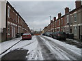
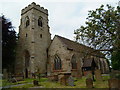
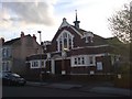
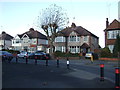
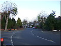
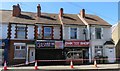
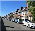
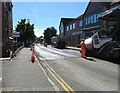
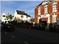
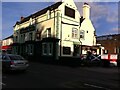
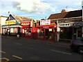
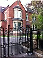
50 photos from this area
Area Information
Key information about the CV2 4LU including its size, population, and administrative classification.
- Area Type
- Postcode
- Area Size
- 5773 m²
- Population
- 1870
- Population Density
- 10680 people/km²
House Prices in CV2 4LU
52
Properties
£71,781
Average Sold Price
£20,000
Lowest Price
£110,000
Highest Price
Showing 52 properties
| Address | Type | Beds | Baths | Last Sale Price | Last Sale Date | |
|---|---|---|---|---|---|---|
| 45 Goring Road, Coventry, CV2 4LU | Flat | - | - | £110,000 | Oct 2023 | |
| 61 Goring Road, Coventry, CV2 4LU | Flat | 2 | 2 | £104,000 | Jul 2022 | |
| 9 Goring Road, Coventry, CV2 4LU | Maisonette | 2 | 1 | £98,000 | Dec 2019 | |
| 53 Goring Road, Coventry, CV2 4LU | Maisonette | 2 | 1 | £90,000 | Nov 2019 | |
| 31 Goring Road, Coventry, CV2 4LU | Flat | 1 | - | £85,000 | Jul 2018 | |
| 77 Goring Road, Coventry, CV2 4LU | Flat | 2 | - | £94,000 | Mar 2018 | |
| 35 Goring Road, Coventry, CV2 4LU | Flat | 2 | 1 | £64,000 | Jun 2015 | |
| 27 Goring Road, Coventry, CV2 4LU | Flat | 2 | 2 | £66,000 | Feb 2015 | |
| 19 Goring Road, Coventry, CV2 4LU | Flat | 2 | - | £60,000 | Dec 2014 | |
| 51 Goring Road, Coventry, CV2 4LU | Maisonette | - | - | £59,000 | May 2012 |
Page 1 of 6
Energy Efficiency in CV2 4LU
Amenities
Schools
| Rank | School | Type | Entry gender | Ages |
|---|
Explore more schools in this area
Go to Schools tabDemographics
Household Size
One person
most common
Accommodation Type
Houses
most common
Tenure
23
majority
Ethnic Group
White
most common
Religion
N/A
most common
Household Composition
N/A
most common
Age
47
median
Adults (30-64 years)
most common
Household Deprivation
N/A
with no deprivation
NS-SEC
11
in Lower managerial occupations
Explore more demographic insights in this area
Go to Demographics tabPlanning
Planning Constraints
- Flood RiskPremium
- Ramsar Wetland SitesPremium
- Area of Outstanding Natural BeautyPremium
- Protected Nature ReservePremium
- Protected WoodlandPremium