Area Overview for CV2 4FP
Photos of CV2 4FP


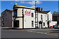
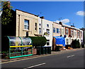
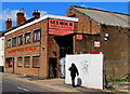
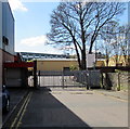

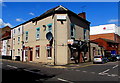
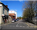
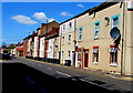
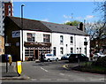
98 photos from this area
Area Information
Key information about the CV2 4FP including its size, population, and administrative classification.
- Area Type
- Postcode
- Area Size
- 6689 m²
- Population
- Not available
- Population Density
- Not available
House Prices in CV2 4FP
51
Properties
£120,948
Average Sold Price
£19,750
Lowest Price
£308,000
Highest Price
Showing 51 properties
| Address | Type | Beds | Baths | Last Sale Price | Last Sale Date | |
|---|---|---|---|---|---|---|
| 29 Grantham Street, Coventry, CV2 4FP | Terraced | 2 | 1 | £168,000 | May 2024 | |
| 14 Grantham Street, Coventry, CV2 4FP | house | 3 | 1 | £150,000 | Aug 2023 | |
| 7 Grantham Street, Coventry, CV2 4FP | Terraced | 6 | 2 | £308,000 | Dec 2022 | |
| 25 Grantham Street, Coventry, CV2 4FP | Terraced | 1 | 1 | £157,000 | Jun 2022 | |
| 20 Grantham Street, Coventry, CV2 4FP | Retail | 2 | 1 | £169,000 | Mar 2022 | |
| 2 Grantham Street, Coventry, CV2 4FP | Flat | 2 | 1 | £265,000 | Feb 2019 | |
| 36 Grantham Street, Coventry, CV2 4FP | Terraced | 5 | 2 | £192,000 | Nov 2018 | |
| 10 Grantham Street, Coventry, CV2 4FP | Terraced | 4 | 2 | £189,950 | Sep 2018 | |
| 30 Grantham Street, Coventry, CV2 4FP | house | 1 | 1 | £149,950 | Oct 2017 | |
| 19 Grantham Street, Coventry, CV2 4FP | house | - | - | £100,000 | Aug 2016 |
Page 1 of 6
Energy Efficiency in CV2 4FP
Amenities
Schools
| Rank | School | Type | Entry gender | Ages |
|---|
Explore more schools in this area
Go to Schools tabDemographics
Household Size
Family (3-5 people)
most common
Accommodation Type
Houses
most common
Tenure
22
majority
Ethnic Group
White
most common
Religion
N/A
most common
Household Composition
N/A
most common
Age
22
median
Adults (30-64 years)
most common
Household Deprivation
N/A
with no deprivation
NS-SEC
15
in Lower managerial occupations
Explore more demographic insights in this area
Go to Demographics tabPlanning
Planning Constraints
- Flood RiskPremium
- Ramsar Wetland SitesPremium
- Area of Outstanding Natural BeautyPremium
- Protected Nature ReservePremium
- Protected WoodlandPremium