Area Overview for CV2 1ZT
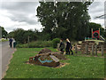
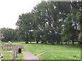
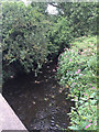
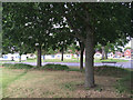
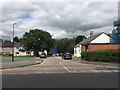
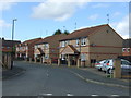
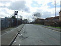
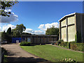
Photos of CV2 1ZT


Area Information
CV2 1ZT is a small residential postcode area in England, home to 1732 residents. It is a compact cluster of properties, likely centred around local amenities and transport links. The area’s demographics suggest a mature community, with a median age of 47 and a majority of residents aged 30–64. Daily life here is shaped by proximity to retail, rail, and transport hubs, including nearby railway stations and two airports. While the area lacks detailed historical or cultural descriptors, its practical connectivity and moderate population size suggest a quiet, functional living environment. The low flood risk and absence of environmental constraints like protected woodlands or AONBs indicate a stable, low-risk setting for residents. However, the crime risk score of 41 means standard security measures are advisable. For buyers, CV2 1ZT offers a snapshot of suburban living with access to essential services, though its character remains understated in official records.
- Area Type
- Postcode
- Area Size
- Not available
- Population
- 1732
- Population Density
- 7993 people/km²
The property market in CV2 1ZT is characterised by a low home ownership rate of 29%, indicating that the majority of properties are likely rented. The accommodation type is predominantly houses, which may reflect a preference for larger, standalone homes over apartments or terraced housing. This suggests a market skewed towards rental properties, potentially attracting tenants seeking stability in a low-risk area. For buyers, the limited data on property types and availability means the area may not be a primary target for investors, though the presence of houses could appeal to those seeking family homes. The small size of the postcode and its proximity to amenities like retail and rail links may make it a niche market, with properties more suited to commuters or those prioritising security over property value growth.
House Prices in CV2 1ZT
No properties found in this postcode.
Energy Efficiency in CV2 1ZT
Living in CV2 1ZT provides access to a range of local amenities within practical reach. Retail options include five shops, such as Farmfoods Foleshill and Morrisons Daily, offering convenience for daily shopping. The area’s five railway stations—Coventry Arena, Bedworth, and Canley—connect residents to broader transport networks, facilitating commuting or travel. Two airports, both named Coventry Airport, may provide additional travel options, though their relevance to the area is unspecified. While the data does not mention parks or leisure facilities, the absence of environmental constraints like protected woodlands or AONBs suggests open spaces may be available nearby. The combination of retail, rail, and transport links creates a functional lifestyle, though the area’s small size means it may not cater to all interests without supplementary travel.
Amenities
Schools
The nearest school to CV2 1ZT is St Patrick’s Catholic Primary School, which serves the local community. The school is listed as a primary institution with an Ofsted rating of ‘good’. This indicates a reliable educational option for families in the area, though no secondary schools or alternative providers are mentioned in the data. The presence of a single primary school suggests that parents may need to consider nearby districts for secondary education. The ‘good’ rating implies that the school meets standard benchmarks for teaching quality and student outcomes, which is a positive factor for families prioritising education. However, the absence of further details on school capacity or catchment areas means prospective residents should verify local education policies independently.
| Rank | School | Type | Entry gender | Ages |
|---|
Explore more schools in this area
Go to Schools tabDemographics
The population of CV2 1ZT is 1732, with a median age of 47. The majority of residents fall within the 30–64 age range, indicating a mature, possibly family-oriented community. Home ownership is relatively low at 29%, suggesting a higher proportion of rental properties. The area is predominantly composed of houses, which may reflect a preference for single-family dwellings over flats. The predominant ethnic group is White, though no further breakdown of diversity is provided. The age profile and housing stock suggest a settled population, potentially with a mix of long-term residents and professionals working in nearby areas. The absence of specific deprivation data means the quality of life here cannot be fully contextualised, but the moderate age range and home ownership rate imply a balanced, if unremarkable, demographic profile.
Household Size
Accommodation Type
Tenure
Ethnic Group
Religion
Household Composition
Age
Household Deprivation
NS-SEC
Explore more demographic insights in this area
Go to Demographics tabPlanning
Planning Constraints
- Flood RiskPremium
- Ramsar Wetland SitesPremium
- Area of Outstanding Natural BeautyPremium
- Protected Nature ReservePremium
- Protected WoodlandPremium