Area Overview for CV2 1JW
Photos of CV2 1JW
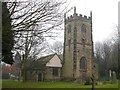
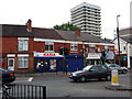
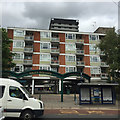
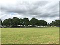
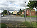
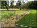
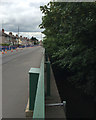
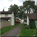
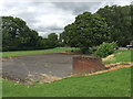
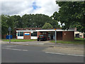
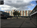
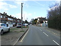
78 photos from this area
Area Information
Key information about the CV2 1JW including its size, population, and administrative classification.
- Area Type
- Postcode
- Area Size
- 1.1 hectares
- Population
- 1749
- Population Density
- 4014 people/km²
House Prices in CV2 1JW
48
Properties
£111,500
Average Sold Price
£65,000
Lowest Price
£185,000
Highest Price
Showing 48 properties
| Address | Type | Beds | Baths | Last Sale Price | Last Sale Date | |
|---|---|---|---|---|---|---|
| 200 Almond Tree Avenue, Coventry, CV2 1JW | Flat | - | - | £97,000 | Dec 2024 | |
| 146 Almond Tree Avenue, Coventry, CV2 1JW | house | - | - | £185,000 | Aug 2024 | |
| 150 Almond Tree Avenue, Coventry, CV2 1JW | house | - | - | £150,000 | Nov 2021 | |
| 158 Almond Tree Avenue, Coventry, CV2 1JW | Semi-detached | - | - | £72,000 | Sep 2017 | |
| 224 Almond Tree Avenue, Coventry, CV2 1JW | Flat | 2 | - | £65,000 | Mar 2015 | |
| 152 Almond Tree Avenue, Coventry, CV2 1JW | house | 3 | - | £100,000 | Aug 2010 | |
| Bin Store 214 To 230 Almond Tree Avenue, Almond Tree Avenue, Coventry, CV2 1JW | Industrial | - | - | - | - | |
| 144 Almond Tree Avenue, Coventry, CV2 1JW | Semi-detached | - | - | - | - | |
| 140 Almond Tree Avenue, Coventry, CV2 1JW | house | - | - | - | - | |
| 172 Almond Tree Avenue, Coventry, CV2 1JW | Flat | - | - | - | - |
Page 1 of 5
Energy Efficiency in CV2 1JW
Amenities
Schools
| Rank | School | Type | Entry gender | Ages |
|---|
Explore more schools in this area
Go to Schools tabDemographics
Household Size
Family (3-5 people)
most common
Accommodation Type
Houses
most common
Tenure
38
majority
Ethnic Group
White
most common
Religion
N/A
most common
Household Composition
N/A
most common
Age
47
median
Adults (30-64 years)
most common
Household Deprivation
N/A
with no deprivation
NS-SEC
16
in Lower managerial occupations
Explore more demographic insights in this area
Go to Demographics tabPlanning
Planning Constraints
- Flood RiskPremium
- Ramsar Wetland SitesPremium
- Area of Outstanding Natural BeautyPremium
- Protected Nature ReservePremium
- Protected WoodlandPremium