Area Overview for CV12 9RR
Photos of CV12 9RR
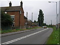
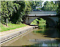
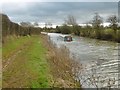
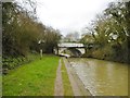
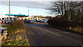
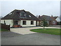
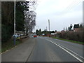
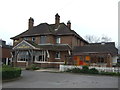


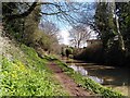
33 photos from this area
Area Information
Key information about the CV12 9RR including its size, population, and administrative classification.
- Area Type
- Postcode
- Area Size
- 14.2 hectares
- Population
- 1491
- Population Density
- 491 people/km²
House Prices in CV12 9RR
46
Properties
£227,478
Average Sold Price
£115,000
Lowest Price
£620,000
Highest Price
Showing 46 properties
| Address | Type | Beds | Baths | Last Sale Price | Last Sale Date | |
|---|---|---|---|---|---|---|
| 362 Nuneaton Road, Bulkington, Bedworth, CV12 9RR | house | - | - | £263,000 | Jun 2024 | |
| 310 Nuneaton Road, Bulkington, Bedworth, CV12 9RR | Semi-detached | 3 | 1 | £245,000 | Feb 2022 | |
| 330 Nuneaton Road, Bulkington, Bedworth, CV12 9RR | Detached | 5 | 1 | £620,000 | Jan 2022 | |
| 378 Nuneaton Road, Bulkington, Bedworth, CV12 9RR | Bungalow | - | - | £302,000 | Dec 2021 | |
| 312 Nuneaton Road, Bulkington, Bedworth, CV12 9RR | house | - | - | £203,000 | Aug 2021 | |
| 392 Nuneaton Road, Bulkington, Bedworth, CV12 9RR | Semi-detached | 3 | 1 | £210,000 | Feb 2021 | |
| 394 Nuneaton Road, Bulkington, Bedworth, CV12 9RR | house | - | - | £240,000 | Oct 2020 | |
| 342 Nuneaton Road, Bulkington, Bedworth, CV12 9RR | Detached | 3 | 1 | £307,500 | Sep 2019 | |
| 316 Nuneaton Road, Bulkington, Bedworth, CV12 9RR | house | - | - | £198,500 | Mar 2019 | |
| 320 Nuneaton Road, Bulkington, Bedworth, CV12 9RR | house | - | - | £215,000 | Jun 2017 |
Page 1 of 5
Energy Efficiency in CV12 9RR
Amenities
Schools
| Rank | School | Type | Entry gender | Ages |
|---|
Explore more schools in this area
Go to Schools tabDemographics
Household Size
Two person
most common
Accommodation Type
Houses
most common
Tenure
92
majority
Ethnic Group
White
most common
Religion
N/A
most common
Household Composition
N/A
most common
Age
47
median
Adults (30-64 years)
most common
Household Deprivation
N/A
with no deprivation
NS-SEC
36
in Lower managerial occupations
Explore more demographic insights in this area
Go to Demographics tabPlanning
Planning Constraints
- Flood RiskPremium
- Ramsar Wetland SitesPremium
- Area of Outstanding Natural BeautyPremium
- Protected Nature ReservePremium
- Protected WoodlandPremium