Area Overview for CV11 6EQ
Photos of CV11 6EQ
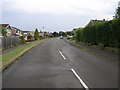
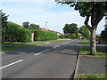
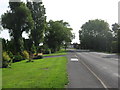
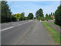
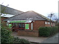
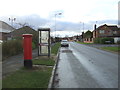
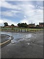
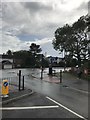
40 photos from this area
Area Information
Key information about the CV11 6EQ including its size, population, and administrative classification.
- Area Type
- Postcode
- Area Size
- 1.4 hectares
- Population
- 1008
- Population Density
- 1416 people/km²
House Prices in CV11 6EQ
13
Properties
£284,619
Average Sold Price
£164,000
Lowest Price
£405,000
Highest Price
Showing 13 properties
| Address | Type | Beds | Baths | Last Sale Price | Last Sale Date | |
|---|---|---|---|---|---|---|
| 160 St Nicolas Park Drive, Nuneaton, CV11 6EQ | house | - | - | £385,000 | Mar 2025 | |
| 178 St Nicolas Park Drive, Nuneaton, CV11 6EQ | Detached | 2 | 1 | £274,500 | Jun 2024 | |
| 174 St Nicolas Park Drive, Nuneaton, CV11 6EQ | house | - | - | £280,000 | Dec 2021 | |
| 182 St Nicolas Park Drive, Nuneaton, CV11 6EQ | Bungalow | - | - | £278,500 | Dec 2021 | |
| 158 St Nicolas Park Drive, Nuneaton, CV11 6EQ | house | - | - | £405,000 | Sep 2021 | |
| 172 St Nicolas Park Drive, Nuneaton, CV11 6EQ | Detached | 2 | 1 | £249,950 | Jul 2021 | |
| 166 St Nicolas Park Drive, Nuneaton, CV11 6EQ | Detached | - | - | £240,000 | Apr 2009 | |
| 164 St Nicolas Park Drive, Nuneaton, CV11 6EQ | Detached | - | - | £164,000 | Dec 2003 | |
| 184 St Nicolas Park Drive, Nuneaton, CV11 6EQ | Detached | - | - | - | - | |
| 170 St Nicolas Park Drive, Nuneaton, CV11 6EQ | Detached | - | - | - | - |
Page 1 of 2
Energy Efficiency in CV11 6EQ
Amenities
Schools
| Rank | School | Type | Entry gender | Ages |
|---|
Explore more schools in this area
Go to Schools tabDemographics
Household Size
Two person
most common
Accommodation Type
Houses
most common
Tenure
94
majority
Ethnic Group
White
most common
Religion
N/A
most common
Household Composition
N/A
most common
Age
47
median
Adults (30-64 years)
most common
Household Deprivation
N/A
with no deprivation
NS-SEC
48
in Lower managerial occupations
Explore more demographic insights in this area
Go to Demographics tabPlanning
Planning Constraints
- Flood RiskPremium
- Ramsar Wetland SitesPremium
- Area of Outstanding Natural BeautyPremium
- Protected Nature ReservePremium
- Protected WoodlandPremium