Area Overview for CV11 5RE
Photos of CV11 5RE
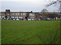
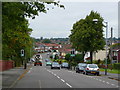
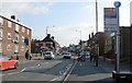
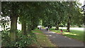
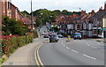
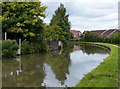
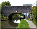
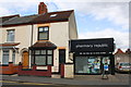
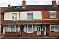
65 photos from this area
Area Information
Key information about the CV11 5RE including its size, population, and administrative classification.
- Area Type
- Postcode
- Area Size
- 6315 m²
- Population
- 1755
- Population Density
- 7681 people/km²
House Prices in CV11 5RE
34
Properties
£95,393
Average Sold Price
£32,000
Lowest Price
£215,000
Highest Price
Showing 34 properties
| Address | Type | Beds | Baths | Last Sale Price | Last Sale Date | |
|---|---|---|---|---|---|---|
| 99 Edward Street, Nuneaton, CV11 5RE | house | - | - | £147,500 | May 2024 | |
| 107 Edward Street, Nuneaton, CV11 5RE | house | - | - | £215,000 | Sep 2023 | |
| 86 Edward Street, Nuneaton, CV11 5RE | house | 4 | 2 | £150,000 | Mar 2022 | |
| 87 Edward Street, Nuneaton, CV11 5RE | house | - | - | £205,000 | Oct 2019 | |
| 103 Edward Street, Nuneaton, CV11 5RE | house | 4 | 1 | £125,000 | Mar 2016 | |
| 109 Edward Street, Nuneaton, CV11 5RE | Flat | 2 | 2 | £36,000 | Sep 2015 | |
| 90 Edward Street, Nuneaton, CV11 5RE | Terraced | - | - | £85,000 | Mar 2007 | |
| 100 Edward Street, Nuneaton, CV11 5RE | house | - | - | £76,000 | Sep 2006 | |
| 89 Edward Street, Nuneaton, CV11 5RE | house | - | - | £89,000 | Aug 2005 | |
| 92 Edward Street, Nuneaton, CV11 5RE | Terraced | - | - | £67,500 | Nov 2003 |
Page 1 of 4
Energy Efficiency in CV11 5RE
Amenities
Schools
| Rank | School | Type | Entry gender | Ages |
|---|
Explore more schools in this area
Go to Schools tabDemographics
Household Size
Family (3-5 people)
most common
Accommodation Type
Houses
most common
Tenure
43
majority
Ethnic Group
White
most common
Religion
N/A
most common
Household Composition
N/A
most common
Age
47
median
Adults (30-64 years)
most common
Household Deprivation
N/A
with no deprivation
NS-SEC
16
in Lower managerial occupations
Explore more demographic insights in this area
Go to Demographics tabPlanning
Planning Constraints
- Flood RiskPremium
- Ramsar Wetland SitesPremium
- Area of Outstanding Natural BeautyPremium
- Protected Nature ReservePremium
- Protected WoodlandPremium