Area Overview for CV10 9QJ
Photos of CV10 9QJ
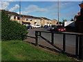
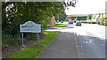
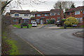
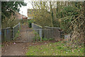
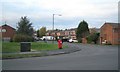
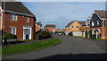
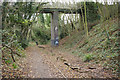
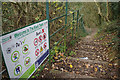

10 photos from this area
Area Information
Key information about the CV10 9QJ including its size, population, and administrative classification.
- Area Type
- Postcode
- Area Size
- 1.8 hectares
- Population
- 1336
- Population Density
- 5336 people/km²
House Prices in CV10 9QJ
23
Properties
£158,420
Average Sold Price
£59,950
Lowest Price
£296,000
Highest Price
Showing 23 properties
| Address | Type | Beds | Baths | Last Sale Price | Last Sale Date | |
|---|---|---|---|---|---|---|
| 134 Merlin Avenue, Nuneaton, CV10 9QJ | Detached | 2 | 1 | £230,000 | Sep 2025 | |
| 150 Merlin Avenue, Nuneaton, CV10 9QJ | Detached | 3 | 1 | £280,000 | Sep 2025 | |
| 121 Merlin Avenue, Nuneaton, CV10 9QJ | Detached | 4 | 1 | £296,000 | Apr 2024 | |
| 123 Merlin Avenue, Nuneaton, CV10 9QJ | house | - | - | £295,000 | Oct 2021 | |
| 131 Merlin Avenue, Nuneaton, CV10 9QJ | house | - | - | £190,500 | Jan 2021 | |
| 132 Merlin Avenue, Nuneaton, CV10 9QJ | Bungalow | 2 | 1 | £210,000 | Mar 2019 | |
| 138 Merlin Avenue, Nuneaton, CV10 9QJ | Semi-detached | 3 | 1 | £170,000 | Apr 2018 | |
| 129 Merlin Avenue, Nuneaton, CV10 9QJ | house | - | - | £128,000 | May 2014 | |
| 135 Merlin Avenue, Nuneaton, CV10 9QJ | Semi-detached | - | - | £109,000 | Feb 2004 | |
| 142 Merlin Avenue, Nuneaton, CV10 9QJ | Semi-detached | - | - | £114,950 | Jan 2004 |
Page 1 of 3
Energy Efficiency in CV10 9QJ
Amenities
Schools
| Rank | School | Type | Entry gender | Ages |
|---|
Explore more schools in this area
Go to Schools tabDemographics
Household Size
Two person
most common
Accommodation Type
Houses
most common
Tenure
90
majority
Ethnic Group
White
most common
Religion
N/A
most common
Household Composition
N/A
most common
Age
47
median
Adults (30-64 years)
most common
Household Deprivation
N/A
with no deprivation
NS-SEC
31
in Lower managerial occupations
Explore more demographic insights in this area
Go to Demographics tabPlanning
Planning Constraints
- Flood RiskPremium
- Ramsar Wetland SitesPremium
- Area of Outstanding Natural BeautyPremium
- Protected Nature ReservePremium
- Protected WoodlandPremium