Area Overview for CV10 8JN
Photos of CV10 8JN
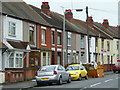
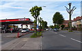
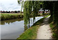
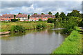
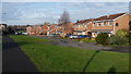
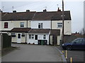
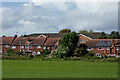
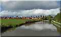
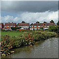
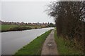
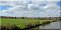
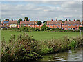
23 photos from this area
Area Information
Key information about the CV10 8JN including its size, population, and administrative classification.
- Area Type
- Postcode
- Area Size
- 1.1 hectares
- Population
- 1452
- Population Density
- 5785 people/km²
House Prices in CV10 8JN
29
Properties
£170,041
Average Sold Price
£46,000
Lowest Price
£320,000
Highest Price
Showing 29 properties
| Address | Type | Beds | Baths | Last Sale Price | Last Sale Date | |
|---|---|---|---|---|---|---|
| 124 Cumberland Drive, Nuneaton, CV10 8JN | Semi-detached | 2 | 1 | £199,000 | May 2025 | |
| 120 Cumberland Drive, Nuneaton, CV10 8JN | Semi-detached | 2 | 1 | £200,000 | Feb 2025 | |
| 65 Cumberland Drive, Nuneaton, CV10 8JN | Detached | 4 | 2 | £310,000 | Jan 2025 | |
| 63 Cumberland Drive, Nuneaton, CV10 8JN | Detached | 4 | 2 | £320,000 | Apr 2024 | |
| 67 Cumberland Drive, Nuneaton, CV10 8JN | Detached | 4 | - | £288,000 | Jan 2022 | |
| 73 Cumberland Drive, Nuneaton, CV10 8JN | house | - | - | £178,000 | Jan 2022 | |
| 53 Cumberland Drive, Nuneaton, CV10 8JN | Detached | 4 | 2 | £263,000 | Jul 2019 | |
| 126 Cumberland Drive, Nuneaton, CV10 8JN | Semi-detached | 2 | 1 | £145,250 | Mar 2019 | |
| 71 Cumberland Drive, Nuneaton, CV10 8JN | Semi-detached | 3 | 2 | £171,000 | Apr 2016 | |
| 104 Cumberland Drive, Nuneaton, CV10 8JN | house | - | - | £173,000 | Dec 2011 |
Page 1 of 3
Energy Efficiency in CV10 8JN
Amenities
Schools
| Rank | School | Type | Entry gender | Ages |
|---|
Explore more schools in this area
Go to Schools tabDemographics
Household Size
Family (3-5 people)
most common
Accommodation Type
Houses
most common
Tenure
69
majority
Ethnic Group
White
most common
Religion
N/A
most common
Household Composition
N/A
most common
Age
47
median
Adults (30-64 years)
most common
Household Deprivation
N/A
with no deprivation
NS-SEC
28
in Lower managerial occupations
Explore more demographic insights in this area
Go to Demographics tabPlanning
Planning Constraints
- Flood RiskPremium
- Ramsar Wetland SitesPremium
- Area of Outstanding Natural BeautyPremium
- Protected Nature ReservePremium
- Protected WoodlandPremium