Area Overview for CV10 7LL
Photos of CV10 7LL
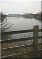
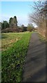
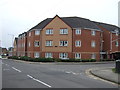
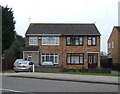
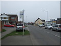
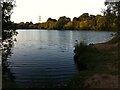
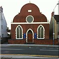
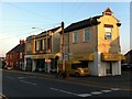
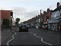
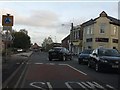
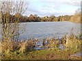

19 photos from this area
Area Information
Key information about the CV10 7LL including its size, population, and administrative classification.
- Area Type
- Postcode
- Area Size
- 1.3 hectares
- Population
- 1320
- Population Density
- 6343 people/km²
House Prices in CV10 7LL
40
Properties
£135,942
Average Sold Price
£50,000
Lowest Price
£250,000
Highest Price
Showing 40 properties
| Address | Type | Beds | Baths | Last Sale Price | Last Sale Date | |
|---|---|---|---|---|---|---|
| 67 Fair Isle Drive, Nuneaton, CV10 7LL | Semi-detached | 3 | 1 | £235,000 | Aug 2023 | |
| 59 Fair Isle Drive, Nuneaton, CV10 7LL | Detached | 3 | 1 | £250,000 | Jul 2023 | |
| 45 Fair Isle Drive, Nuneaton, CV10 7LL | house | - | - | £159,000 | Oct 2021 | |
| 88 Fair Isle Drive, Nuneaton, CV10 7LL | Semi-detached | 3 | 1 | £162,000 | May 2019 | |
| 108 Fair Isle Drive, Nuneaton, CV10 7LL | Detached | 3 | 2 | £160,000 | Mar 2019 | |
| 90 Fair Isle Drive, Nuneaton, CV10 7LL | Semi-detached | 3 | 1 | £170,000 | Apr 2017 | |
| 53 Fair Isle Drive, Nuneaton, CV10 7LL | house | - | - | £175,000 | Jun 2016 | |
| 100 Fair Isle Drive, Nuneaton, CV10 7LL | Bungalow | - | - | £165,000 | Aug 2015 | |
| 106 Fair Isle Drive, Nuneaton, CV10 7LL | Semi-detached | 2 | 1 | £142,000 | May 2015 | |
| 110 Fair Isle Drive, Nuneaton, CV10 7LL | house | - | - | £122,500 | Dec 2012 |
Page 1 of 4
Energy Efficiency in CV10 7LL
Amenities
Schools
| Rank | School | Type | Entry gender | Ages |
|---|
Explore more schools in this area
Go to Schools tabDemographics
Household Size
Two person
most common
Accommodation Type
Houses
most common
Tenure
86
majority
Ethnic Group
White
most common
Religion
N/A
most common
Household Composition
N/A
most common
Age
47
median
Adults (30-64 years)
most common
Household Deprivation
N/A
with no deprivation
NS-SEC
27
in Lower managerial occupations
Explore more demographic insights in this area
Go to Demographics tabPlanning
Planning Constraints
- Flood RiskPremium
- Ramsar Wetland SitesPremium
- Area of Outstanding Natural BeautyPremium
- Protected Nature ReservePremium
- Protected WoodlandPremium