Area Overview for CV10 0QH
Photos of CV10 0QH
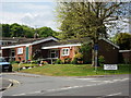
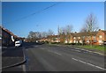
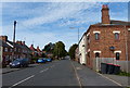
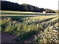
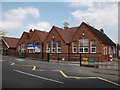
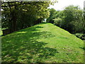
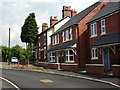
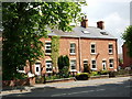
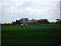
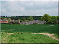
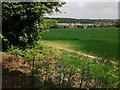

15 photos from this area
Area Information
Key information about the CV10 0QH including its size, population, and administrative classification.
- Area Type
- Postcode
- Area Size
- 20.0 hectares
- Population
- 1526
- Population Density
- 1075 people/km²
House Prices in CV10 0QH
11
Properties
£290,000
Average Sold Price
£180,000
Lowest Price
£400,000
Highest Price
Showing 11 properties
| Address | Type | Beds | Baths | Last Sale Price | Last Sale Date | |
|---|---|---|---|---|---|---|
| Woodside House, Moorwood Lane, Hartshill, CV10 0QH | house | - | - | £400,000 | Nov 2019 | |
| Woodview, Moorwood Lane, Hartshill, CV10 0QH | house | - | - | £180,000 | Jun 2011 | |
| Bethany, Moorwood Lane, Hartshill, CV10 0QH | Bungalow | - | - | - | - | |
| Caravan At, Moorwood Kennels, Moorwood Lane, Hartshill, CV10 0QH | Mobile Home | - | - | - | - | |
| Moorwood Kennels, Moorwood Lane, Hartshill, CV10 0QH | commercial | - | - | - | - | |
| Land At Moorwood Stables, Moorwood Lane, Hartshill, CV10 0QH | warehouse | - | - | - | - | |
| Paws-a-while, Paws A While, Hill Crest, Moorwood Lane, Hartshill, CV10 0QH | commercial | - | - | - | - | |
| Northfield, Moorwood Lane, Hartshill, CV10 0QH | Mobile Home | - | - | - | - | |
| Whinchat, Moorwood Lane, Hartshill, CV10 0QH | Semi-detached | - | - | - | - | |
| Moorwood House, Moorwood Lane, Hartshill, CV10 0QH | Detached | - | - | - | - |
Page 1 of 2
Energy Efficiency in CV10 0QH
Amenities
Schools
| Rank | School | Type | Entry gender | Ages |
|---|
Explore more schools in this area
Go to Schools tabDemographics
Household Size
Two person
most common
Accommodation Type
Houses
most common
Tenure
83
majority
Ethnic Group
White
most common
Religion
N/A
most common
Household Composition
N/A
most common
Age
47
median
Adults (30-64 years)
most common
Household Deprivation
N/A
with no deprivation
NS-SEC
32
in Lower managerial occupations
Explore more demographic insights in this area
Go to Demographics tabPlanning
Planning Constraints
- Flood RiskPremium
- Ramsar Wetland SitesPremium
- Area of Outstanding Natural BeautyPremium
- Protected Nature ReservePremium
- Protected WoodlandPremium