Area Overview for CV10 0PF
Photos of CV10 0PF
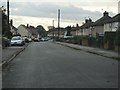
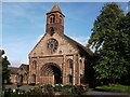
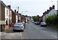
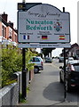
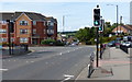
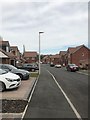
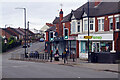
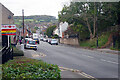

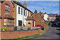
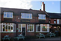
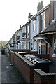
19 photos from this area
Area Information
Key information about the CV10 0PF including its size, population, and administrative classification.
- Area Type
- Postcode
- Area Size
- 6013 m²
- Population
- 1551
- Population Density
- 230 people/km²
House Prices in CV10 0PF
26
Properties
£132,704
Average Sold Price
£30,000
Lowest Price
£250,000
Highest Price
Showing 26 properties
| Address | Type | Beds | Baths | Last Sale Price | Last Sale Date | |
|---|---|---|---|---|---|---|
| 160 Coleshill Road, Chapel End, CV10 0PF | Terraced | 3 | 1 | £189,000 | Mar 2025 | |
| 146 Coleshill Road, Hartshill, CV10 0PF | Semi-detached | 3 | 1 | £162,000 | Jul 2024 | |
| 140 Coleshill Road, Hartshill, CV10 0PF | Retail | 4 | 2 | £188,500 | Jun 2022 | |
| Stanley Brick House, Coleshill Road, Chapel End, CV10 0PF | Detached | 4 | 2 | £250,000 | Jun 2020 | |
| 134 Coleshill Road, Hartshill, CV10 0PF | Cottage | 2 | 1 | £124,950 | Oct 2019 | |
| 142 Coleshill Road, Hartshill, CV10 0PF | house | - | - | £130,000 | Jul 2019 | |
| 168 Coleshill Road, Chapel End, CV10 0PF | house | - | - | £200,000 | May 2017 | |
| 172 Coleshill Road, Chapel End, CV10 0PF | house | - | - | £215,000 | Sep 2016 | |
| 158 Coleshill Road, Chapel End, CV10 0PF | house | 2 | - | £95,500 | Mar 2011 | |
| 162 Coleshill Road, Chapel End, CV10 0PF | house | - | - | £100,000 | Dec 2007 |
Page 1 of 3
Energy Efficiency in CV10 0PF
Amenities
Schools
| Rank | School | Type | Entry gender | Ages |
|---|
Explore more schools in this area
Go to Schools tabDemographics
Household Size
Two person
most common
Accommodation Type
Houses
most common
Tenure
58
majority
Ethnic Group
White
most common
Religion
N/A
most common
Household Composition
N/A
most common
Age
47
median
Adults (30-64 years)
most common
Household Deprivation
N/A
with no deprivation
NS-SEC
22
in Lower managerial occupations
Explore more demographic insights in this area
Go to Demographics tabPlanning
Planning Constraints
- Flood RiskPremium
- Ramsar Wetland SitesPremium
- Area of Outstanding Natural BeautyPremium
- Protected Nature ReservePremium
- Protected WoodlandPremium