Area Overview for CV1 5HU
Photos of CV1 5HU
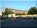
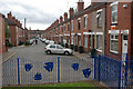
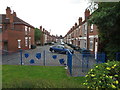
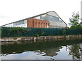

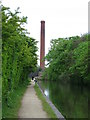


100 photos from this area
Area Information
Key information about the CV1 5HU including its size, population, and administrative classification.
- Area Type
- Postcode
- Area Size
- 1.0 hectares
- Population
- 1853
- Population Density
- 17732 people/km²
House Prices in CV1 5HU
58
Properties
£83,491
Average Sold Price
£19,000
Lowest Price
£170,000
Highest Price
Showing 58 properties
| Address | Type | Beds | Baths | Last Sale Price | Last Sale Date | |
|---|---|---|---|---|---|---|
| 39 Cambridge Street, Coventry, CV1 5HU | house | - | - | £170,000 | Nov 2024 | |
| 43 Cambridge Street, Coventry, CV1 5HU | house | - | - | £165,000 | Apr 2024 | |
| 19 Cambridge Street, Coventry, CV1 5HU | house | - | - | £90,000 | Nov 2022 | |
| 61 Cambridge Street, Coventry, CV1 5HU | house | - | - | £130,000 | Jul 2021 | |
| 99 Cambridge Street, Coventry, CV1 5HU | house | - | - | £135,000 | Feb 2021 | |
| 31 Cambridge Street, Coventry, CV1 5HU | house | - | - | £66,000 | Mar 2020 | |
| 53 Cambridge Street, Coventry, CV1 5HU | house | - | - | £80,000 | May 2017 | |
| 27 Cambridge Street, Coventry, CV1 5HU | Terraced | 3 | 1 | £120,000 | Jul 2016 | |
| 75 Cambridge Street, Coventry, CV1 5HU | house | - | - | £80,000 | Jun 2014 | |
| 9 Cambridge Street, Coventry, CV1 5HU | house | - | - | £95,000 | Jul 2013 |
Page 1 of 6
Energy Efficiency in CV1 5HU
Amenities
Schools
| Rank | School | Type | Entry gender | Ages |
|---|
Explore more schools in this area
Go to Schools tabDemographics
Household Size
Family (3-5 people)
most common
Accommodation Type
Houses
most common
Tenure
33
majority
Ethnic Group
asian_total
most common
Religion
N/A
most common
Household Composition
N/A
most common
Age
22
median
Adults (30-64 years)
most common
Household Deprivation
N/A
with no deprivation
NS-SEC
10
in Lower managerial occupations
Explore more demographic insights in this area
Go to Demographics tabPlanning
Planning Constraints
- Flood RiskPremium
- Ramsar Wetland SitesPremium
- Area of Outstanding Natural BeautyPremium
- Protected Nature ReservePremium
- Protected WoodlandPremium