Area Overview for CV1 3EX
Photos of CV1 3EX

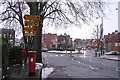
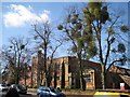
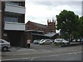
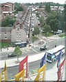
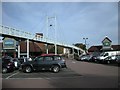
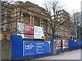
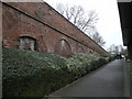
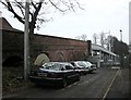
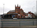
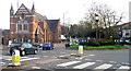
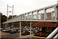
100 photos from this area
Area Information
Key information about the CV1 3EX including its size, population, and administrative classification.
- Area Type
- Postcode
- Area Size
- 4121 m²
- Population
- 1927
- Population Density
- 5337 people/km²
House Prices in CV1 3EX
32
Properties
£133,692
Average Sold Price
£15,000
Lowest Price
£245,000
Highest Price
Showing 32 properties
| Address | Type | Beds | Baths | Last Sale Price | Last Sale Date | |
|---|---|---|---|---|---|---|
| 14 Brunswick Road, Coventry, CV1 3EX | house | 1 | 1 | £245,000 | Feb 2024 | |
| 2 Brunswick Road, Coventry, CV1 3EX | house | 1 | 1 | £215,000 | Dec 2022 | |
| 15 Brunswick Road, Coventry, CV1 3EX | Terraced | 5 | 5 | £191,000 | Jan 2017 | |
| 17 Brunswick Road, Coventry, CV1 3EX | house | 1 | 2 | £138,000 | Jan 2015 | |
| 22 Brunswick Road, Coventry, CV1 3EX | Terraced | 1 | 1 | £159,000 | Aug 2014 | |
| 16 Brunswick Road, Coventry, CV1 3EX | house | 4 | - | £125,000 | Aug 2013 | |
| 21 Brunswick Road, Coventry, CV1 3EX | Terraced | 4 | 2 | £129,500 | Aug 2011 | |
| 8 Brunswick Road, Coventry, CV1 3EX | Terraced | 4 | 1 | £155,000 | Aug 2007 | |
| 19 Brunswick Road, Coventry, CV1 3EX | Flat | - | - | £140,000 | Aug 2007 | |
| 7 Brunswick Road, Coventry, CV1 3EX | Terraced | 4 | 1 | £151,000 | Feb 2005 |
Page 1 of 4
Energy Efficiency in CV1 3EX
Amenities
Schools
| Rank | School | Type | Entry gender | Ages |
|---|
Explore more schools in this area
Go to Schools tabDemographics
Household Size
One person
most common
Accommodation Type
Flats
most common
Tenure
21
majority
Ethnic Group
White
most common
Religion
N/A
most common
Household Composition
N/A
most common
Age
22
median
Young Adults (15-29 years)
most common
Household Deprivation
N/A
with no deprivation
NS-SEC
21
in Lower managerial occupations
Explore more demographic insights in this area
Go to Demographics tabPlanning
Planning Constraints
- Flood RiskPremium
- Ramsar Wetland SitesPremium
- Area of Outstanding Natural BeautyPremium
- Protected Nature ReservePremium
- Protected WoodlandPremium